Mitchell Highway
- Mitchell Highway
-

Une
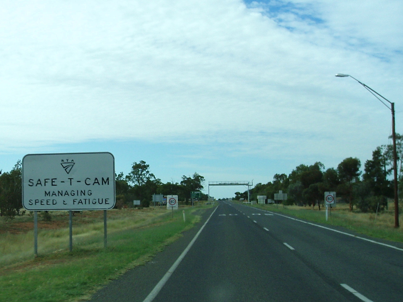
Safe-T-Cam sur la Mitchell Highway.
La Mitchell Highway est une route australienne longue de 1 110 km, d'orientation grossièrement sud-nord, située dans le centre et le nord de la Nouvelle-Galles du Sud et le sud et le centre du Queensland.
Elle commence à Bathurst et traverse Orange, Molong, Wellington, Dubbo, Narromine, Nevertire, Nyngan, Bourke, Cunnamulla, Charleville et Augathella.
Elle doit son nom au Major Thomas Mitchell qui fut topographe en chef de la Nouvelle-Galles du sud dans les années 1820 et qui explora la plus grande partie de l'intérieur de la Nouvelle-Galles du Sud et du Queensland.
Sur les autres projets Wikimedia :
Galerie
 |
Cliquez sur une vignette pour l’agrandir |
Catégories :
- Route de Nouvelle-Galles du Sud
- Route du Queensland
Wikimedia Foundation.
2010.
Contenu soumis à la licence CC-BY-SA. Source : Article Mitchell Highway de Wikipédia en français (auteurs)
Regardez d'autres dictionnaires:
Mitchell Highway — Proposed … Wikipedia
Mitchell Highway — Verlauf Mitchell Highway, die Hauptstraße in … Deutsch Wikipedia
Mitchell Highway — /ˈmɪtʃəl haɪweɪ/ (say michuhl huyway) noun a highway connecting Dubbo, NSW, with Charleville and Augathella, Qld. {named after Sir Thomas Mitchell1} …
Mitchell Freeway — Mitchell Freeway … Wikipedia
Mitchell, Queensland — Mitchell Queensland Looking downstream on the Maranoa River on the eastern side of Mitchell … Wikipedia
Mitchell County, Texas — The Mitchell County Courthouse in Colorado City … Wikipedia
Mitchell County, Iowa — Courthouse located in Osage is on the NRHP … Wikipedia
Mitchell County High School — Location 1000 Newton Road Camilla, Georgia, 31730 5411 USA Coordinates … Wikipedia
Mitchell, Oregon — City Main Street as seen from Rosenbaum Street … Wikipedia
Mitchell County, Kansas — Location in the state of Kansas … Wikipedia