- Nanda Devi Biosphere Reserve
-
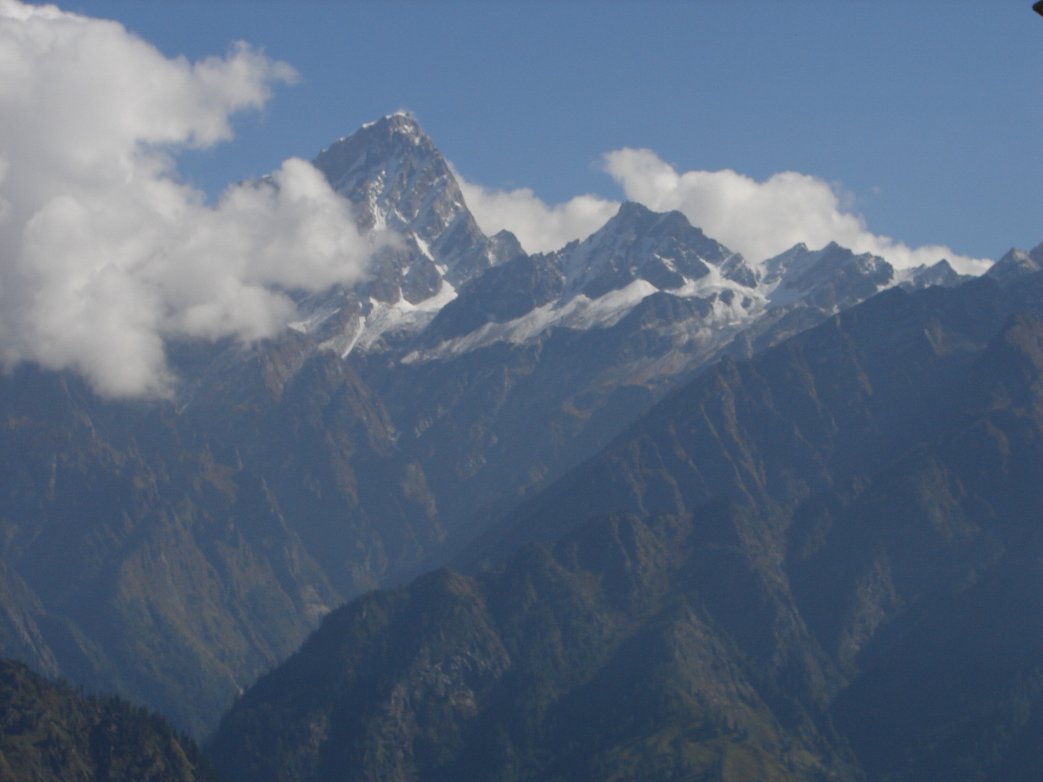
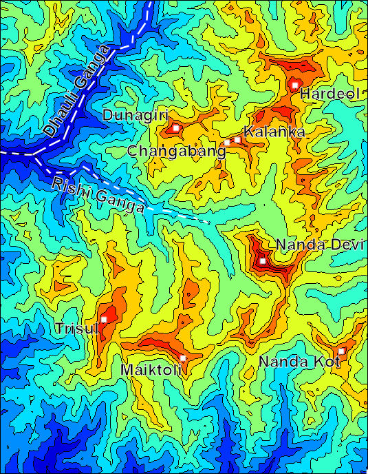
Nanda Devi
Nanda Devi 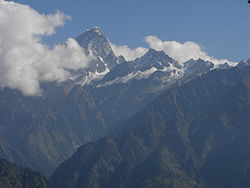
Géographie Altitude 7 816 m Massif Himalaya Longueur km Largeur km Superficie km2 Coordonnées Administration Pays  Inde
IndeÉtats et territoires de l'Inde Uttaranchal ' Ascension Première 1936 par
Noel Odell et
Bill TilmanVoie la plus facile Géologie Âge Roches Géolocalisation sur la carte : Inde 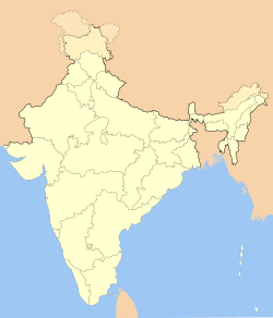

modifier 
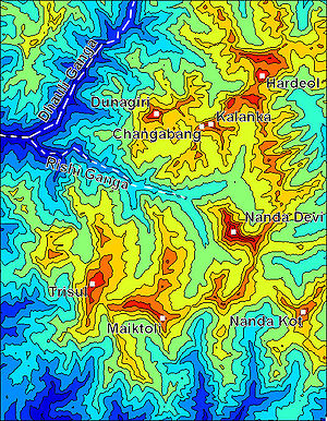 Sanctuaire de Nanda
La Nanda Devi signifiant « Déesse joyeuse » (de devi, déesse et nanda, joie) est la plus haute montagne complètement contenue dans le territoire indien. C'est aussi le plus haut sommet de la chaîne du Garhwal.
Lorsque l'expédition américano-britannique grimpa à son sommet en 1936, ce devint le sommet le plus haut atteint par l'homme, et le resta jusqu'à l'ascension de l'Annapurna en 1950.
En 1951, au cours de la troisième expédition française dans l’Himalaya, Roger Duplat et Gilbert Vignes disparaissent dans la traversée de l'arête sommitale.
En 1965, une expédition américano-indienne installe un dispositif automatique (SNAP-7E) de surveillance des essais nucléaires chinois. L'appareil est détruit au bout de quelques mois par une avalanche et son plutonium 238 pollue la rivière Dhaulî, un affluent de l'Alaknandâ qui se jette elle-même dans le Gange. Il sera remplacé, l'année suivante, par un dispositif similaire sur un pic voisin, le Nanda Kot.
En 1992, la Nanda Devi Biosphere Reserve est inscrite sur la liste du patrimoine mondial de l'UNESCO.
Sommaire
Ascensions
- 1936 - Première ascension lors d'une expédition américano-britannique par les alpinistes Noel Odell et Bill Tilman.
- 1974 - La Nanda Devi est ouverte aux alpinistes occidentaux. Le sommet devient alors la seconde destination la plus populaire de l'Himalaya après l'Everest.
Voir aussi
Articles connexes
Liens externes
- Le récit de l'ascension
- Photos du Nanda Devi sur le site Peakware (en anglais)
- (en) Fiche du parc sur le site UNEP-WCMC

Géographie Bangladesh · Bhoutan Inde · Maldives · Népal Pakistan · Sri Lanka Voir aussi Himalaya · Sommets de + 8 000 m Pages méta Portail : Monde indien Projet : Monde indien Index alphabétique Index thématique  Portail de la montagne
 Portail de la conservation de la nature
 Portail du monde indien
 Portail de l’ONU
Catégories : Himalaya | Sommet d'Asie | Uttarakhand | Patrimoine mondial en Inde

Wikimedia Foundation. 2010.