Paamiut
Contenu soumis à la licence CC-BY-SA. Source : Article Paamiut de Wikipédia en français (auteurs)
Regardez d'autres dictionnaires:
Paamiut — (Bevölkerung an der Mündung) Frederikshåb (Fredriks Hoffnung) Kommune Kommuneqarfik Sermersooq Geographische Lage … Deutsch Wikipedia
Paamiut — ( da. Frederikshåb, pre 1973 spelling: Pâmiut ) is a town in southwest Greenland and also the administrative centre of the municipality of Paamiut. Approximate location is coord|62|00|N|49|43|W. Population is 1,817 (as of 2005). The town has a… … Wikipedia
Paamiut — Paamiut, früher dänisch Frederikshåb [frɛdəregs hɔːb], Stadt an der Südwestküste Grönlands, bei 62º nördlicher Breite, 2 400 Einwohner; Radio und meteorologische Station; Fischfang und verarbeitung, Schafzucht … Universal-Lexikon
Paamiut — Ubicación del municipio de Paamiut. Paamiut (danés: Frederikshåb, antes de 1973 deletreo: Pâmiut) es un pueblo en Groenlandia del sudoeste y también el centro administrativo del municipio de Paamiut. Se fundó en 1742 y luego prosperó en el… … Wikipedia Español
Paamiut — Original name in latin Paamiut Name in other language Frederikshab, Frederikshb, JFR, Paamiut, Pamiut State code GL Continent/City America/Godthab longitude 61.99402 latitude 49.66776 altitude 1 Population 1862 Date 2013 04 13 … Cities with a population over 1000 database
Paamiut — ▪ Greenland Danish Frederikshåb town, southwestern Greenland, on the Atlantic coast at the mouth of 30 miles (48 km ) long Kvanefjord and south southeast of Frederikshåbs Isblink (ice field), a navigation landmark. It was founded in 1742.… … Universalium
Frederikshaab — Paamiut (Bevölkerung an der Mündung) Frederikshåb (Fredriks Hoffnung) Kommune Kommuneqarfik Sermersooq Geographische Lage … Deutsch Wikipedia
Frederikshab — Paamiut (Bevölkerung an der Mündung) Frederikshåb (Fredriks Hoffnung) Kommune Kommuneqarfik Sermersooq Geographische Lage … Deutsch Wikipedia
Frederikshåb — Paamiut (Bevölkerung an der Mündung) Frederikshåb (Fredriks Hoffnung) Kommune Kommuneqarfik Sermersooq Geographische Lage … Deutsch Wikipedia
Frederikshåb — Paamiut Paamiut (Frederikshåb) Administration Pays Groenland … Wikipédia en Français
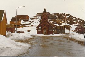 Paamiut en 1980.
 Danemark
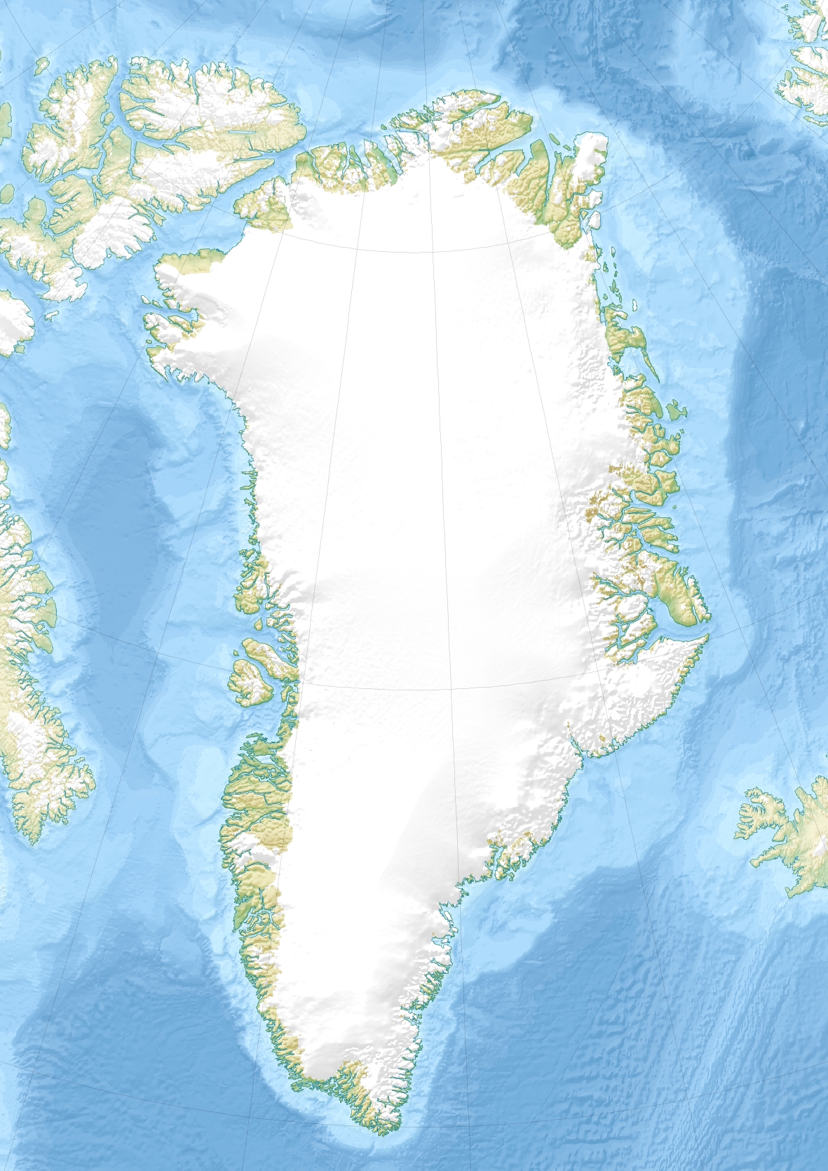
 Groenland
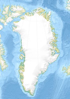
 Paamiut