Parrega
Contenu soumis à la licence CC-BY-SA. Source : Article Parrega de Wikipédia en français (auteurs)
Regardez d'autres dictionnaires:
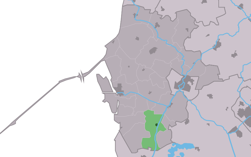
Parrega — (Frisian: Parregea ) is a village in the Dutch province Friesland. Parrega has 360 inhabitants.Parrega was a fishing village, located east of the former Parregaaster Lake, which was reclaimed in 1878. Together with the nearby village Hieslum, it… … Wikipedia
Parregea — Parrega 53°1′6″N 5°28′44″E / 53.01833, 5.47889 … Wikipédia en Français
List of places in the Netherlands — This is an alphabetical list of places (cities, towns, villages) in the Netherlands. Lists per province can be found at:* List of towns in Groningen * List of towns in Friesland * List of towns in Drente * List of towns in Overijssel * List of… … Wikipedia
Wûnseradiel — Infobox City official name = Wûnseradiel other name = Wonseradeel mapsize = 280px subdivision type = Country subdivision name = Netherlands subdivision type1 = Province subdivision name1 = Fryslân area footnotes = (2006) area total km2 = 317.68… … Wikipedia
Wonseradeel — Gemeinde Wûnseradiel Flagge Wappen Provinz Friesland Bürgermeister Theunis Piersma … Deutsch Wikipedia
Wûnseradiel — Gemeinde Wûnseradiel Flagge Wappen Provinz Friesland … Deutsch Wikipedia
Abbega — 53°1′7″N 5°34′13″E / 53.01861, 5.57028 … Wikipédia en Français
Allingawier — 53°2′50″N 5°26′42″E / 53.04722, 5.445 … Wikipédia en Français
Arum (Frise) — 53°7′47″N 5°28′31″E / 53.12972, 5.47528 … Wikipédia en Français
Blauwhuis — 53°1′21″N 5°31′56″E / 53.0225, 5.53222 … Wikipédia en Français
 Pays-Bas