Petty Harbour-Maddox Cove
- Petty Harbour-Maddox Cove
-
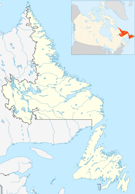
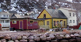
Petty Harbour-Maddox Cove est un village situé sur la côte est de la péninsule d'Avalon, Terre-Neuve-et-Labrador. La ville a été fondée au début du XIXe siècle bien que le site en lui même ait été occupé depuis au moins 1598. Au recensement de 2006, on y a dénombré une population de 915[1] habitants.
S'y trouve la première station hydroélectrique (Petty Harbour Generating Station) de Terre-Neuve-et-Labrador.
-
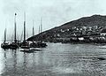
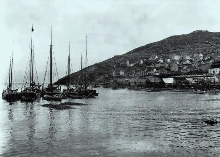
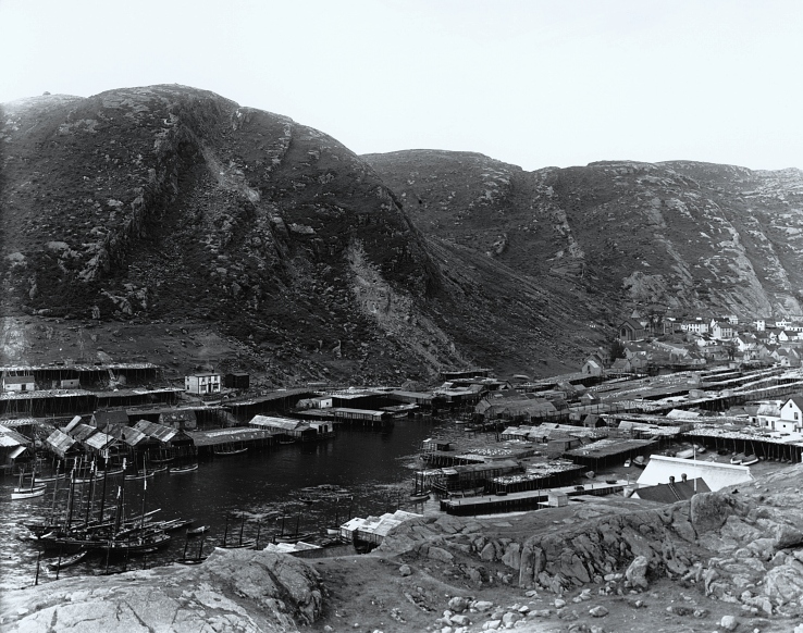
Bateaux de pêche, Petty Cove, 1908
-
Sources
Références
Compléments
Article connexe
Liens externes
Wikimedia Foundation.
2010.
Contenu soumis à la licence CC-BY-SA. Source : Article Petty Harbour-Maddox Cove de Wikipédia en français (auteurs)
Regardez d'autres dictionnaires:
Petty Harbour-Maddox Cove, Newfoundland and Labrador — Infobox Settlement official name = Petty Harbour Maddox Cove other name = native name = nickname = settlement type = Town motto = imagesize = image caption = Some houses near Petty Harbour. flag size = image seal size = image shield = shield size … Wikipedia
Petty Harbour — Maddox Cove Petty Harbour Maddox Cove (47°27′56″N 52°42′41″O / 47.46556, 52.71139) est un village de 950 personnes situé sur la côte est de la pén … Wikipédia en Français
St. John's, Newfoundland and Labrador — Not to be confused with Saint John, New Brunswick. St. John s City … Wikipedia
List of cities and towns in Newfoundland and Labrador — This page lists cities and towns of the province of Newfoundland and Labrador, Canada. This list contains only incorporated municipalities. Unincorporated settlements are listed at List of communities in Newfoundland and Labrador Contents:… … Wikipedia
Liste Des Municipalités De Terre-Neuve-Et-Labrador — Cette article est une liste des municipalités de Terre Neuve et Labrador au Canada. Sommaire : Haut A B C D E F G H I J K L M N O P Q R S T U V W X Y Z … Wikipédia en Français
Liste des municipalites de Terre-Neuve-et-Labrador — Liste des municipalités de Terre Neuve et Labrador Cette article est une liste des municipalités de Terre Neuve et Labrador au Canada. Sommaire : Haut A B C D E F G H I J K L M N O P Q R S T U V W X Y Z … Wikipédia en Français
Liste des municipalités de Terre-Neuve-et-Labrador — Cet article est une liste des municipalités de Terre Neuve et Labrador au Canada. Sommaire : Haut A B C D E F G H I J K L M N O P Q R S T U V W X Y Z A … Wikipédia en Français
Liste des municipalités de terre-neuve-et-labrador — Cette article est une liste des municipalités de Terre Neuve et Labrador au Canada. Sommaire : Haut A B C D E F G H I J K L M N O P Q R S T U V W X Y Z … Wikipédia en Français
Division No. 1, Newfoundland and Labrador — is a census division covering the entire Avalon Peninsula including the Isthmus of Avalon of the Canadian province of Newfoundland and Labrador. Like all census divisions in Newfoundland and Labrador, but unlike the census divisions of some other … Wikipedia
St. John's South—Mount Pearl — Infobox Canada electoral district province = Newfoundland and Labrador caption = St. John s South Mount Pearl in relation to other Newfoundland and Labrador ridings fed status = active fed district number = 10007 fed created = 2003 fed abolished … Wikipedia
 Canada
 Terre-Neuve-et-Labrador