- Radojevo
-
Radojevo
Радојево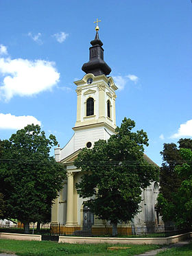 L'église orthodoxe serbe de Radojevo
Administration Pays  Serbie
Province Voïvodine Région Banat serbe District Banat central Municipalité Nova Crnja Code postal 23 221 Géographie Coordonnées Altitude 65 m Superficie 4 280 ha = 42,8 km2 Démographie Population 1 385 hab. (2002) Densité 32,4 hab./km2 Localisation 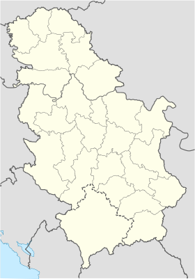
 Radojevo
Radojevo (en serbe cyrillique : Радојево ; en hongrois : Klári ; en allemand : Klari ; en roumain : Peterda) est une localité de Serbie située dans la province autonome de Voïvodine. Elle fait partie de la municipalité de Nova Crnja dans le district du Banat central. En 2002, elle comptait 1 385 habitants[1], dont une majorité de Serbes.
Radojevo est officiellement classé parmi les villages de Serbie.
Sommaire
Démographie
Évolution historique de la population
Évolution démographique 1948 1953 1961 1971 1981 1991 2002 2 869 2 915 2 595 2 230 1 872 1 588 1 385[1] En 2010, la population de Radojevo était estimée à 1 268 habitants[2].
Répartition de la population (2002)
Nationalité Nombre % Serbes 1 094 78,98 Roms 199 14,36 Yougoslaves 19 1,37 Hongrois 11 0,79 Croates 10 0,72 Macédoniens 10 0,72 Bulgares 4 0,28 Allemands 3 0,21 Roumains 2 0,14 Musulmans 2 0,14 Ruthènes 1 0,07 Inconnus/Autres[3] Notes et références
- (sr) Livre 9, Population, analyse comparative de la population en 1948, 1953, 1961, 1971, 1981, 1991 et 2002, données par localités, Institut de statistique de la République de Serbie, Belgrade, mai 2004 (ISBN 86-84433-14-9)
- (fr) Radojevo sur http://gazetteer.de, World Gazetteer. Consulté le 21 décembre 2010
- (sr) Livre 1, Population, origine nationale ou ethnique, données par localités, Institut de statistique de la République de Serbie, Belgrade, février 2003 (ISBN 86-84433-00-9)
Voir aussi
Articles connexes
Liens externes
- (en) Maplandia
- (en) Vue satellite de Radojevo sur fallingrain.com
Catégorie :- Localité de Nova Crnja


Wikimedia Foundation. 2010.