Raraka

Raraka
Raraka
Géographie
Pays Drapeau de France France
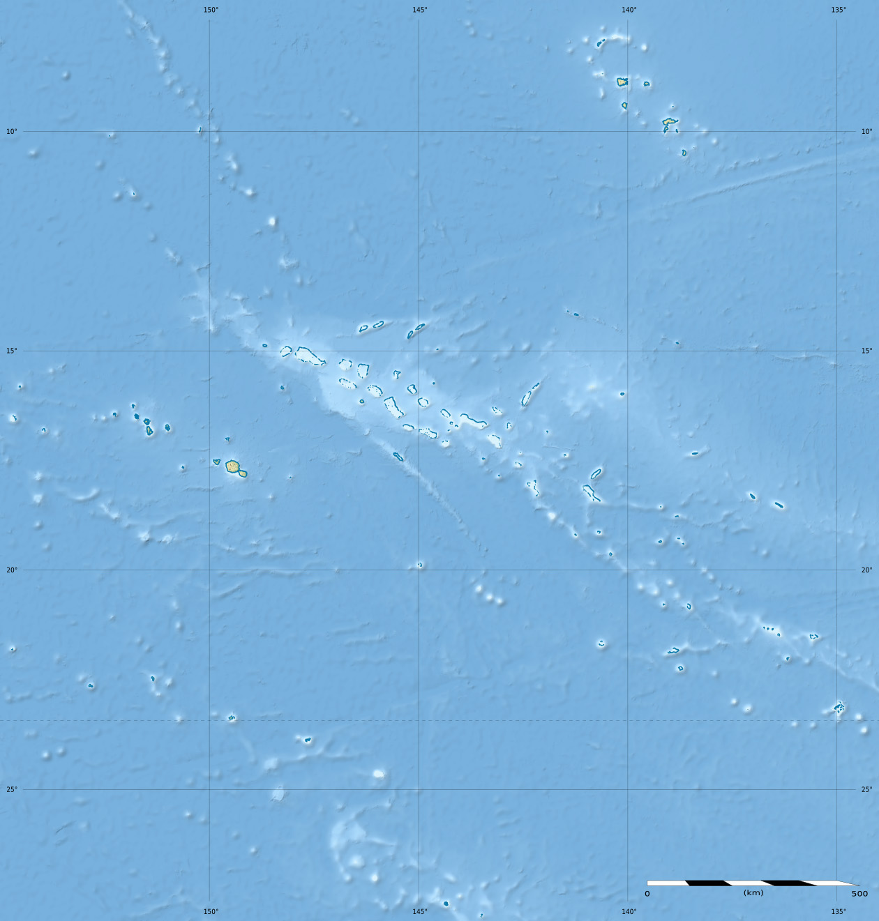
Archipel Tuamotu
Localisation Océan Pacifique
Coordonnées 16° 10′ 00″ S 144° 54′ 00″ W / -16.166667, -144.916° 10′ 00″ S 144° 54′ 00″ W / -16.166667, -144.9
Superficie 7,2 km2
Géologie Atoll
Administration
Drapeau de France France
Collectivité d'outre-mer Polynésie française
District Tuamotu
Commune Fakarava
Démographie
Population 67 hab. (2002)
Densité 9,31 hab./km2
Autres informations
Fuseau horaire UTC-10

Géolocalisation sur la carte : Polynésie française

(Voir situation sur carte : Polynésie française)
Raraka
Raraka
Atolls de France

Raraka également appelé Te Marie[1]. est un atoll situé dans l'archipel des Tuamotu en Polynésie française. Celui-ci fait partie de la commune de Fakarava.

Géographie

Situé à 17 km au sud-est de Kauehi, l'île la plus proche, l'atoll est de forme ovale avec 27 km de longueur et 19 km de largeur maximales pour 7,2 km2 de terres émergées. Son grand lagon couvre une superficie de 342 km2.

Sa population est d'environ une soixantaine de personnes vivant principalement dans le village de Motupapu situé près de la passe et où se trouve l'église Sainte-Thérèse relativement ancienne.

Histoire

La première mention de l'atoll est faite par le capitaine Ireland en 1831[2]. Raraka fut ensuite visité par l'expédition de Charles Wilkes (1839-1842).

Notes et références

  1. Names of the Paumotu Islands, with the Old Names So Far As They Are Known par J.L. Young dans The Journal of the Polynesian Society, Volume 8, No. 4, December 1899, p.264-8
  2. Tahiti et ses archipels par Pierre-Yves Toullelan, éditions Karthala, 1991, (ISBN 2-86537-291-X), p.61.

Wikimedia Foundation. 2010.

Contenu soumis à la licence CC-BY-SA. Source : Article Raraka de Wikipédia en français (auteurs)

Игры ⚽ Нужен реферат?

Regardez d'autres dictionnaires:

  • Raraka — Raraka, or Te Marie, is an atoll in the west of the Tuamotu group in French Polynesia. It lies 17 Km to the southeast of Kauehi Atoll.The shape of Raraka Atoll is an oval 26 km long and 19 km wide. Its fringing reef has many sandbanks and small… …   Wikipedia

  • Raraka — Saltar a navegación, búsqueda Raraka es un atolón de las Tuamotu, en la Polinesia Francesa, incluido en la comuna de Fakarava. Está situado en el centro y al oeste del archipiélago, a 40 km al este de Fakarava. Sus coordenadas son …   Wikipedia Español

  • Raraka — Vorlage:Infobox Insel/Wartung/Höhe fehlt Raraka NASA Bild der Nordhälfte von Raraka Gewässer Pazifischer Ozean Archipel …   Deutsch Wikipedia

  • råraka — s ( n, rårakor) MATL raggmunk …   Clue 9 Svensk Ordbok

  • Te Marie — Raraka Raraka Vue satellite de la NASA Géographie Pays …   Wikipédia en Français

  • Tuamotus — Native name: Tuamotu Flag of the Tuamotu Islands …   Wikipedia

  • Niau — Coordinates: 16°09.25′S 146°21.34′W / 16.15417°S 146.35567°W / 16.15417; 146.35567 …   Wikipedia

  • Kauehi — Kauehi, or Putake, is an atoll in the Tuamotu group in French Polynesia. The nearest land is Raraka Atoll, located 17 Km to the Southeast. Kauehi Atoll is roughly kidney shaped and has a wide lagoon; length 23 Km, width 17 Km.Kauehi s lagoon has… …   Wikipedia

  • Taiaro — Taiaro, or Maro taua, is a small atoll in the west of the Tuamotu group in French Polynesia. It is one of the smallest of the Tuamotu atolls. Taiaro lies 42 Km to the northeast of Raraka Atoll.The shape of Taiaro Atoll is roughly a polygon 3.7 Km …   Wikipedia

  • Amanu-Atoll — Amanu NASA Bild von Amanu Gewässer Pazifischer Ozean Archipel Anzahl der Inseln …   Deutsch Wikipedia

Share the article and excerpts

Direct link
Do a right-click on the link above
and select “Copy Link”