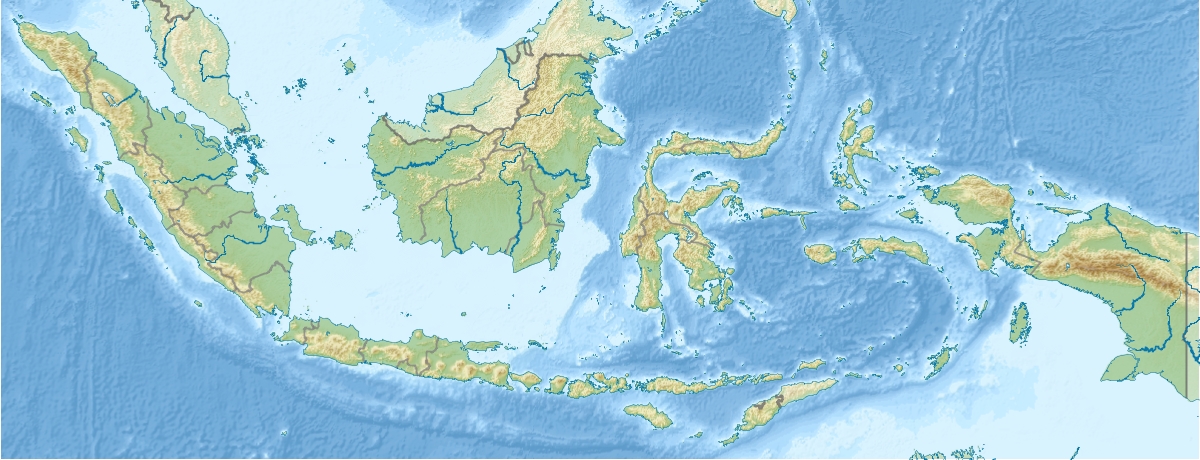
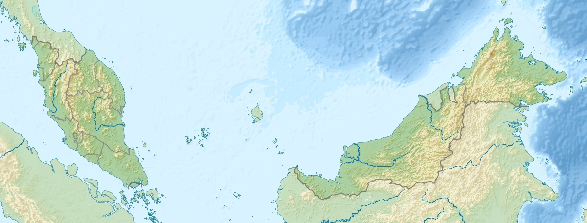
Sebatik
Contenu soumis à la licence CC-BY-SA. Source : Article Sebatik de Wikipédia en français (auteurs)
Regardez d'autres dictionnaires:
Sebatik — Sebatik, rot eingekreist im Nordosten Borneos. Sebatik ist eine Insel vor der Ostküste Borneos in der Celebessee. Ein Teil der 452 km² großen Insel gehört zu Indonesien, der andere zu Malaysia, Sebatik ist damit eine geteilte Insel. In… … Deutsch Wikipedia
Sebatik Island — ( Pulau Sebatik ) is an island off the eastern coast of Borneo, partly within Indonesia and partly within Malaysia. It has an area of approximately 452.2 square kilometres. [ [http://islands.unep.ch/IHC.htm UN SYSTEM WIDE EARTHWATCH Web… … Wikipedia
Sebatik — Sebittik (veraltet) … Universal-Lexikon
Sebittik — Sebatik … Universal-Lexikon
Indonesia-Malaysia border — The border between the Southeast Asian countries of Indonesia and Malaysia consist of both a land border separating the two countries territories on the island of Borneo as well as maritime boundaries along the length of the Straits of Malacca,… … Wikipedia
Себатик — индон. Pulau Sebatik малайск. Pulau Sebatik … Википедия
East Malaysia — comprises the states of Sabah and Sarawak, and the Federal territory of Labuan … Wikipedia
Indonesia–Malaysia confrontation — Indonesia Malaysia confrontation Control of the island of Borneo, which is divided between Indonesia, Malaysia and … Wikipedia
Malaysian Maritime Enforcement Agency — Agensi Penguatkuasaan Maritim Malaysia Abbreviation MMEA / APMM Logo of the Malaysian Maritime Enforcement Agency … Wikipedia
Liste des îles frontalières d'Indonésie — 92 îles d Indonésie, géographiquement isolées et éloignées, sont désignées comme îles extérieures depuis la signature d un décret présidentiel en 2005[1]. Parmi celles ci, 67 sont proches d un pays voisin et 28 sont habitées. Sommaire 1 Liste 2… … Wikipédia en Français
 Malaisie
 Indonésie