Attiswil

Attiswil
Attiswil
Une vue d'ensemble de la commune serait la bienvenue
Administration
Pays Suisse Armoiries de la commune.
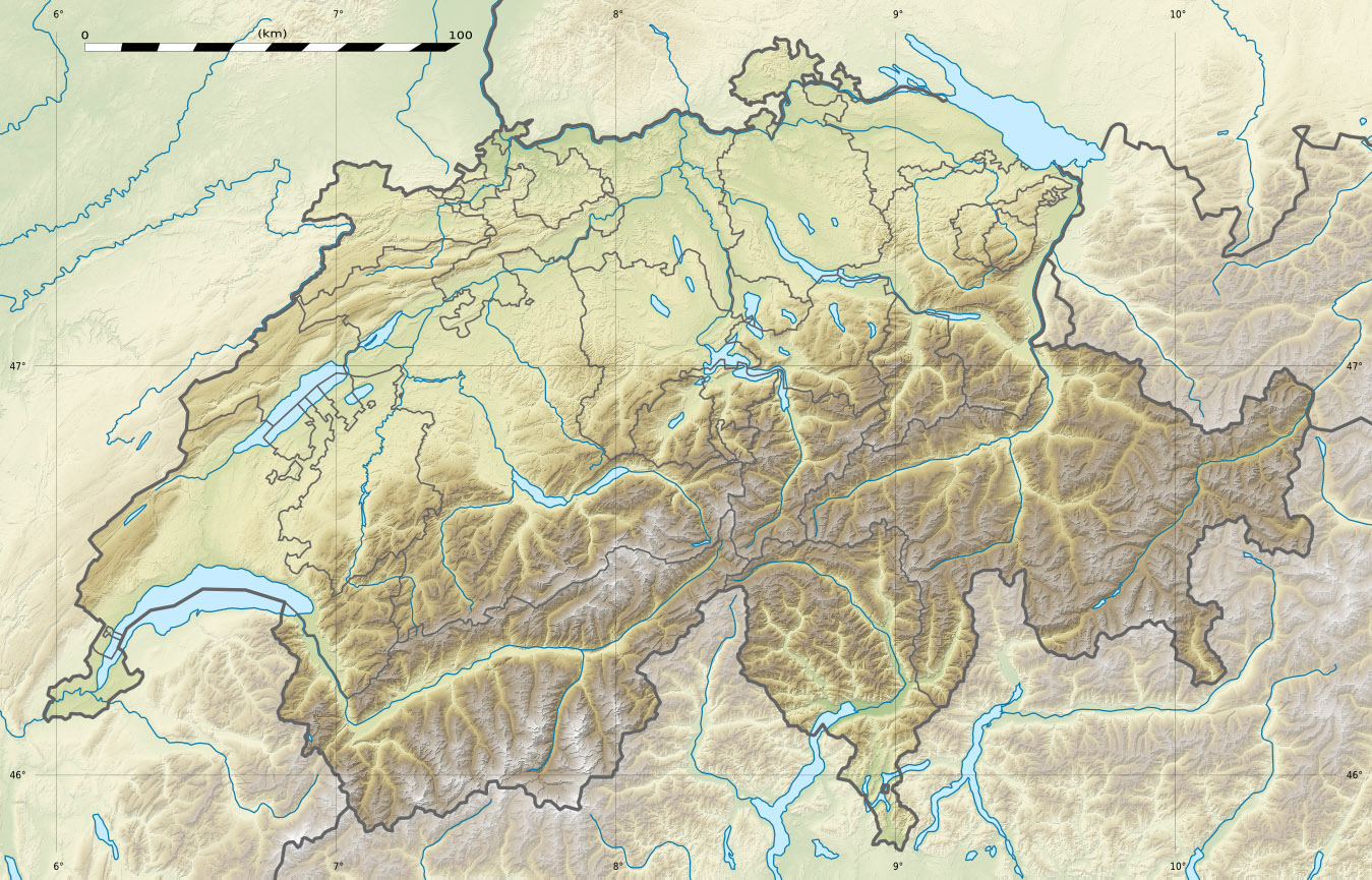
Canton Berne
Arrondissement Haute-Argovie
Langue Allemand
N° OFS 0971
Code postal 4536
Site Web www.attiswil.ch
Géographie
Superficie 7,64 km²[1]
Altitude 464
Coordonnées 47° 14′ 00″ N 7° 36′ 00″ E / 47.233328, 7.60000747° 14′ 00″ N 7° 36′ 00″ E / 47.233328, 7.600007 
Démographie
Population 1 328 (31 décembre 2009)[2]
Densité 173,8 hab./km²
Localisation

Localisation de Attiswil en Suisse.

Attiswil est une commune suisse du canton de Berne, située dans l'arrondissement administratif de Haute-Argovie.

Références

  1. Statistique de la superficie 2004/09 : Données communales sur Office fédéral de la Statistique. Consulté le 23 septembre 2010
  2. Bilan de la population résidante permanente (total) selon les districts et les communes, en 2009 sur Office fédéral de la Statistique. Consulté le 1er septembre 2010

Wikimedia Foundation. 2010.

Contenu soumis à la licence CC-BY-SA. Source : Article Attiswil de Wikipédia en français (auteurs)

Игры ⚽ Нужно сделать НИР?

Regardez d'autres dictionnaires:

  • Attiswil — Basisdaten Staat: Schweiz Kanton …   Deutsch Wikipedia

  • Attiswil — Saltar a navegación, búsqueda Attiswil Escudo …   Wikipedia Español

  • Attiswil — Attiswil, es una localidad suiza del cantón de Berna, situada en el distrito de Wangen …   Enciclopedia Universal

  • Attiswil — Infobox Swiss town subject name = Attiswil municipality name = Attiswil municipality type = municipality imagepath coa = Attiswil coat of arms.svg|pixel coa= languages = German canton = Berne iso code region = CH BE district = Wangen lat d=47|lat …   Wikipedia

  • Attiswil — Original name in latin Attiswil Name in other language State code CH Continent/City Europe/Zurich longitude 47.24673 latitude 7.61353 altitude 467 Population 1389 Date 2013 03 01 …   Cities with a population over 1000 database

  • Unterleberberg — Von Balm bei Günsberg nach Süden blickend Der Untere Leberberg (auch Unterleberberg) ist eine Region im Bezirk Lebern, des Kantons Solothurn in der Schweiz. Inhaltsverzeichnis 1 Lage und Geographie …   Deutsch Wikipedia

  • Unterer Leberberg — Von Balm bei Günsberg nach Süden blickend Der Untere Leberberg (auch Unterleberberg) ist eine Region im Bezirk Lebern, des Kantons Solothurn in der Schweiz. Inhaltsverzeichnis …   Deutsch Wikipedia

  • Аттисвиль — Коммуна Аттисвиль Attiswil Герб …   Википедия

  • Oberaargau — Coordinates: 46°14′N 7°39′E / 46.233°N 7.65°E / 46.233; 7.65 The Oberaargau is the region that encompasses the upper watershed of t …   Wikipedia

  • Amtsbezirk Wangen — Basisdaten Kanton: Bern Hauptort: Wangen an der Aare BFS Nr.: 0226 Fläche: 151 km² …   Deutsch Wikipedia

Share the article and excerpts

Direct link
Do a right-click on the link above
and select “Copy Link”