- Tabuaeran
-
 Pour les articles homonymes, voir Fanning (homonymie).
Tabuaeran
Fanning Island (en)
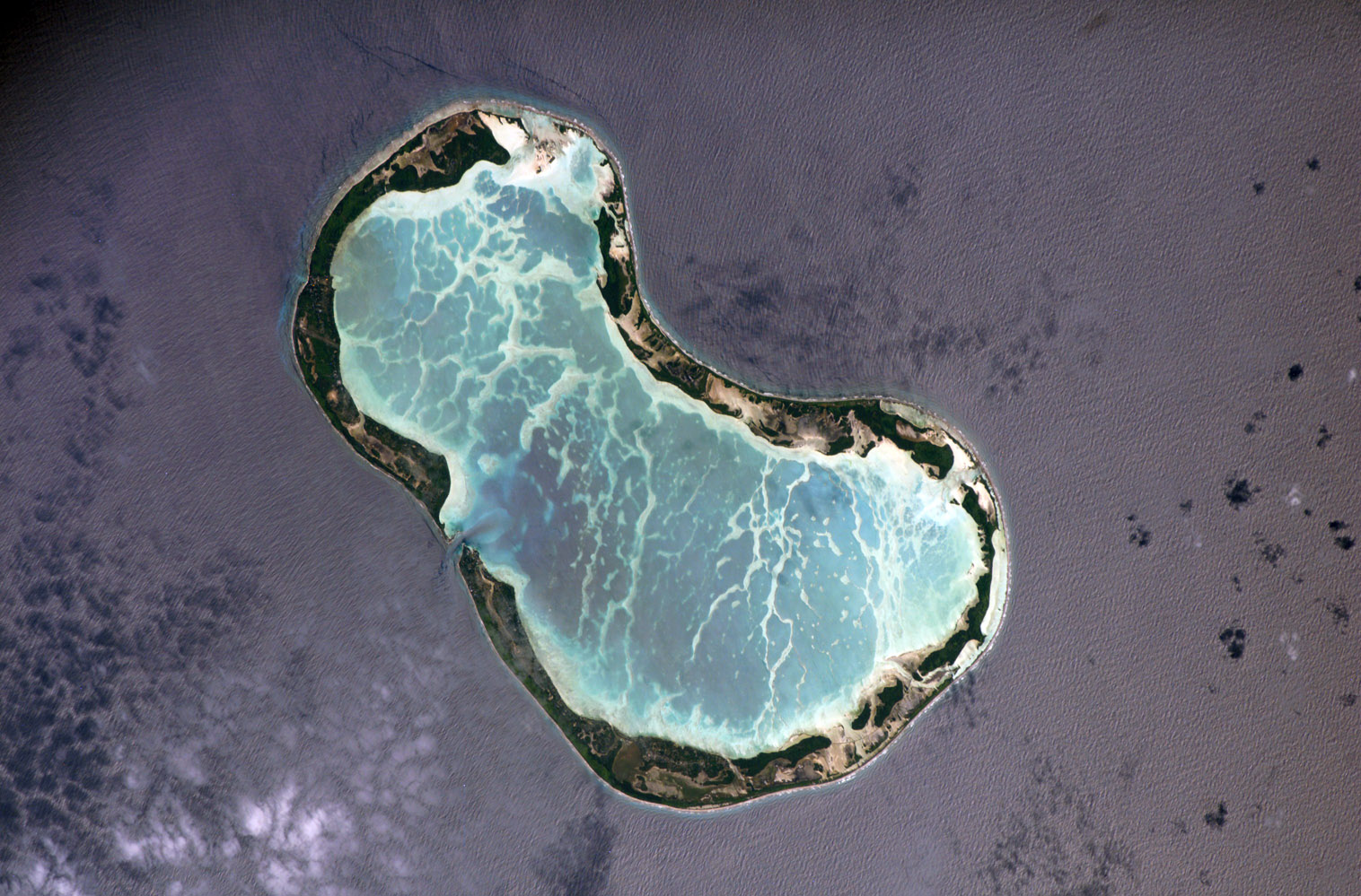
Image satellite de Tabuaeran.Géographie Pays  Kiribati
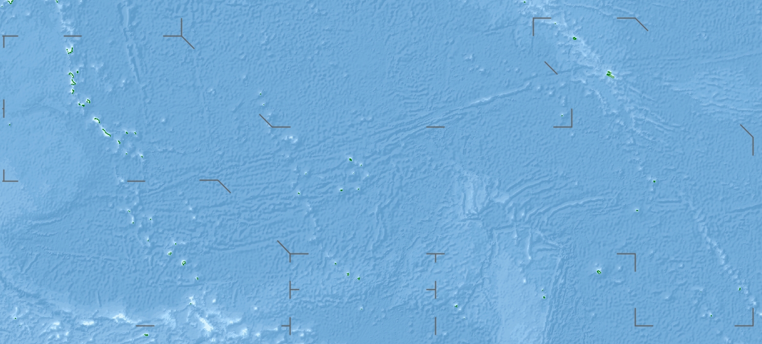
Archipel Îles de la Ligne Localisation Océan Pacifique Coordonnées Superficie 33,7 km2 Nombre d'îles plus de 12 Île(s) principale(s) Motu o Tau Point culminant non nommé (4 m) Géologie Atoll Administration KiribatiAucun découpage territorial - Démographie Population 2 539 hab. (2005) Densité 75,34 hab./km2 Autres informations Fuseau horaire UTC+14 Géolocalisation sur la carte : Kiribati

 Tabuaeran
Archipels des Kiribati Tabuaeran ou île Fanning, en anglais Fanning Island, est un atoll des îles de la Ligne, appartenant à la république des Kiribati.
Sa population est de 2 539 habitants en 2005, en forte augmentation en raison notamment de l'industrie touristique, de développement récent et de la politique de repeuplement des Kiribati. Un navire de croisière de la NCL (Norwegian Cruise Line), le Norwegian Wind dessert l'île chaque semaine, à partir d'Hawaii, de façon à bénéficier du régime de la détaxe.
Sa superficie terrestre est de 33,7 km2 environ, avec un lagon interne. Découverte par l'explorateur américain Edmund Fanning en 1798 (d'où son nom), elle n'a pris son nom actuel (d'origine polynésienne) que lors de l'indépendance en 1979. Annexée par le Royaume-Uni en 1889, elle fit partie de la colonie des îles Gilbert et Ellice dès 1916. Célèbre pour une station du câble télégraphique transocéanique.
Le coprah est la seule exportation (avec un peu d'algues).
Liens externes
Catégorie :- Atoll des Kiribati

Wikimedia Foundation. 2010.