Tiaro
- Tiaro
-
25° 43′ 38″ S 152° 35′ 17″ E / -25.7272, 152.588
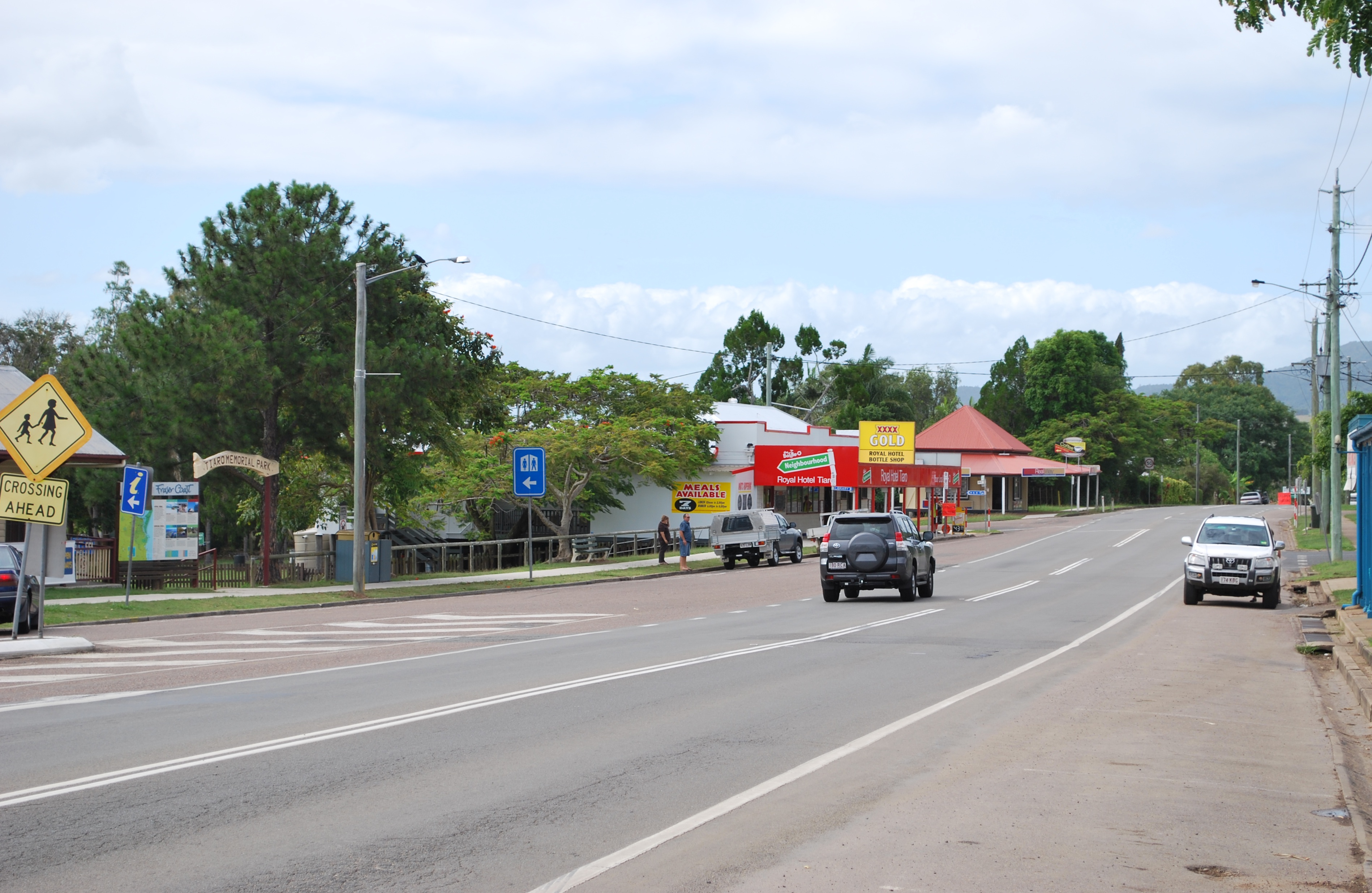
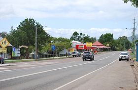
Tiaro est une petite ville sur la Mary River au Queensland, en Australie. La ville est située sur la "Bruce Highway" à 27 kilomètres au sud de Maryborough et à 227 kilomètres au nord de Brisbane, la capitale de l'état. La région vit surtout de l'agriculture et de l'exploitation du bois sans oublier les avantages que la ville tire de sa situation sur la Bruce Highway.
Tiaro est le centre administratif du "Tiaro Shire Council" qui s'étend au sud jusqu'aux villes de Bauple, Glenwood, Gunalda et Curra.
La population du comté était de 5 120 habitants en 2006.
Wikimedia Foundation.
2010.
Contenu soumis à la licence CC-BY-SA. Source : Article Tiaro de Wikipédia en français (auteurs)
Regardez d'autres dictionnaires:
Tiaro Tourist StopOver — (Tiaro,Австралия) Категория отеля: 3,5 звезд Адрес: 3 Bridge Street, 4650 Tia … Каталог отелей
Tiaro, Queensland — Tiaro is a small town on the Mary River in Queensland, Australia. The town is situated on the Bruce Highway 27 km south of Maryborough and 227 km north of the state capital, Brisbane. Timber and farming are the predominant industries in the Tiaro … Wikipedia
Shire of Tiaro — Infobox Australian Place | type = lga name = Shire of Tiaro state = qld imagesize= 135 caption = Location within Queensland pop = 5,233 pop footnotes = (2006 census) [Census 2006 AUS | id = LGA36850 | name = Tiaro (S) (Local Government Area) |… … Wikipedia
City of Maryborough (Queensland) — City of Maryborough Queensland Location within Queensland Population: 25,705(2006 census) … Wikipedia
Thomas William Glasgow — Infobox Military Person name= Sir Thomas William Glasgow lived= 6 June 1876 – Death date and age|1955|7|4|1876|6|6|df=yes placeofbirth= Tiaro, Queensland placeofdeath= Brisbane, Queensland caption= Portrait of Major General Sir Thomas William… … Wikipedia
Shire of Cooloola — Queensland Location within Queensland Population: 36,956(2006 census) … Wikipedia
City of Hervey Bay — Queensland Location within Queensland Population: 56,427(2006 census) … Wikipedia
Shire of Kilkivan — Infobox Australian Place | type = lga name = Shire of Kilkivan state = qld imagesize= 135 caption = Location within Queensland area = 3263.4 est = 1886 seat = Kilkivan pop = 3,431 pop footnotes = (2006 census) [Census 2006 AUS | id = LGA34300 |… … Wikipedia
Shire of Woocoo — Infobox Australian Place | type = lga name = Shire of Woocoo state = qld imagesize= 135 caption = Location within Queensland pop = 3,351 pop footnotes = (2006 census) [Census 2006 AUS | id = LGA37500 | name = Woocoo (S) (Local Government Area) |… … Wikipedia
Fraser Coast Regional Council — The Fraser Coast Regional Council is a Local Government Area in Queensland, Australia. The Local Government Area was created in March 2008 as a result of the report of the Local Government Reform Commission released in July 2007. The new Council … Wikipedia
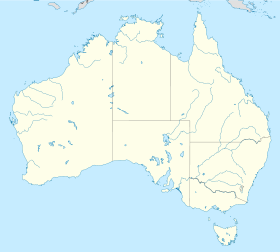
 Australie
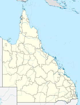
 Comté de Tiaro