Town de Kwinana
- Town de Kwinana
-
Ville de Kwinana
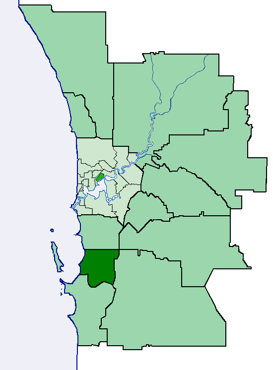
La Ville de Kwinana (Town of Kwinana en anglais) est une zone d'administration locale dans la banlieue de Perth en Australie-Occidentale en Australie à environ 40 kilomètres au sud du centre ville.
La zone doit son nom à un navire, le Kwinana, qui s'était échoué sur ses côtes en 1922 et plusieurs de ses quartiers portent le nom de bateaux qui amenèrent les premiers immigrants (Calista, Medina, Parmelia)
La zone est divisée en un certain nombre de localités:
- Anketell
- Bertram
- Calista
- Casuarina
- Hope Valley
- Kwinana
- Kwinana Beach
- Kwinana Town Centre
- Leda
- Mandogalup
- Medina
- Naval Base
- Orelia
- Parmelia
- Postans
- The Spectacles
- Wandi
- Wellard
La zone a 8 conseillers et est découpée en 3 circonscriptions:
- Central Ward (6 conseillers)
- East Wards (1 conseiller)
- West Wards (1 conseiller).
Lien externe
 Portail de l’Australie
Catégorie : Zone d'administration locale de Perth
Wikimedia Foundation.
2010.
Contenu soumis à la licence CC-BY-SA. Source : Article Town de Kwinana de Wikipédia en français (auteurs)
Regardez d'autres dictionnaires:
Town of Kwinana — Kwinana is a Local Government Area of Western Australia. It covers an area of approximately 118 square kilometres in metropolitan Perth, and lies about 40 km south of the Perth CBD, via the Kwinana Freeway. Kwinana maintains 287 km of roads and… … Wikipedia
Kwinana Town — Town of Kwinana Lage des Kwinana Town in Westaustralien Gliederung … Deutsch Wikipedia
Kwinana — may refer to:*Town of Kwinana, a Local Government Area in Western Australia *Kwinana Beach, Western Australia, a suburb in Western Australia *Kwinana Freeway, a major road in Western Australia *Kwinana Town Centre, Western Australia, a suburb in… … Wikipedia
Kwinana — Ortsschild Kwinanas Staat … Deutsch Wikipedia
Kwinana Town Centre, Western Australia — Infobox Australian Place | type = suburb name = Kwinana Town Centre city = Perth state = wa caption = lga = Town of Kwinana postcode = 6167 propval = stategov = Kwinana fedgov = Brand near nw = Calista near n = Orelia near ne = Parmelia near w =… … Wikipedia
Kwinana Beach, Western Australia — Infobox Australian Place | type = suburb name = Kwinana Beach city = Perth state = wa caption = lga = Town of Kwinana postcode = 6167 stategov = Kwinana fedgov = Brand near nw = near n = Naval Base near ne = Hope Valley near w = near e = Postans… … Wikipedia
Kwinana — /kwəˈnanə/ (say kwuh nahnuh) noun a town, shire and port in south western WA, south of Perth; important industrial area. The Kwinana region is in territory traditionally inhabited by the Wajuk people. It is now a major industrial area,… …
Town of Cottesloe — This article is about a local government area. For the suburb, see Cottesloe, Western Australia. Town of Cottesloe Western Australia Location of Cottesloe, Western Australia … Wikipedia
Kwinana — ▪ Western Australia, Australia town, southwestern Western Australia. It lies along Cockburn Sound, just south of Perth. The name was taken from a freighter wrecked offshore in 1922; it is an Aboriginal word meaning “young woman.” The place… … Universalium
Electoral district of Kwinana — Infobox Australian Electorate name = Kwinana state = wa caption = lifespan = 2008–present mp = mp party = namesake = Town of Kwinana area = 201 class = South MetropolitanKwinana is an electoral district of the Legislative Assembly in the… … Wikipedia