Tumkur
- Tumkur
-
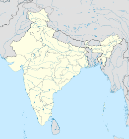
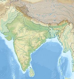
Tumkur est une ville de l'État du Karnataka en Inde, chef-lieu du district homonyme.
Géographie
Tumkur est située à 70 km au nord-ouest de Bangalore.
Économie
Cette section est vide, insuffisamment détaillée ou incomplète.
Votre aide est la bienvenue !
Histoire
Cette section est vide, insuffisamment détaillée ou incomplète.
Votre aide est la bienvenue !
Lieux et monuments
Cette section est vide, insuffisamment détaillée ou incomplète.
Votre aide est la bienvenue !
Wikimedia Foundation.
2010.
Contenu soumis à la licence CC-BY-SA. Source : Article Tumkur de Wikipédia en français (auteurs)
Regardez d'autres dictionnaires:
Tumkur — Tumkur … Deutsch Wikipedia
Tumkur — ▪ India city, eastern Karnataka (Karnātaka) state, southern India. Tumkur lies at the foot of Devarayadurga Hill, which has a picturesque health resort at about 3,900 feet (1,190 metres). The city, a road and rail centre, has a cluster of… … Universalium
Tumkur — Original name in latin Tumkr Name in other language Tumakooru, Tumakuru, Tumakru, Tumkur, Tumkr, tumakuru State code IN Continent/City Asia/Kolkata longitude 13.34149 latitude 77.101 altitude 814 Population 307359 Date 2013 02 08 … Cities with a population over 1000 database
Tumkur — Admin ASC 2 Code Orig. name Tumkur Country and Admin Code IN.19.1254090 IN … World countries Adminstrative division ASC I-II
Tumkur (Lok Sabha constituency) — Tumkur is a Lok Sabha constituency in Karnataka. Members of ParliamentMysore State: *1951: C.R. Basappa, Indian National Congress *1957: M.V. Krishnappa, Indian National Congress *1962: M.V. Krishnappa, Indian National Congress *1967: K. Lakkappa … Wikipedia
Tumkur (Distrikt) — Distrikt Tumkur ತುಮಕೂರು ಜಿಲ್ಲೆ Bundesstaat: Karnataka Division: Bangalore … Deutsch Wikipedia
Tumkur district — Infobox Indian Jurisdiction native name = Tumkur type= district district district image desc = Taluk level map of district latd =13.34 district lat m = longd =77.1 district long m = state name = Karnataka division name = taluk names = Tumkur,… … Wikipedia
Doddakallahalli, Tumkur — Doddakalahalli (Kannada: ದೊಡ್ಡಕಲ್ಲಹಳ್ಳಿ) is a village in Kunigal taluk of Tumkur district of the Indian state of Karnataka. The name of the village is derived from the rocky landscape kallu meaning stone in Kannada. According to the 2001 census,… … Wikipedia
Mudigere, Tumkur — Mudigere is a village in Gubbi taluk in the Tumkur district in the Indian state of Karnataka. Contents 1 Geography 2 Demographics 3 Industry 4 … Wikipedia
Тумкур — (Tumkur)Tumkur, оздоровительный и торговый центр в штате Карнатака, юж. Индия, к С. В. от г.Бангалор; 179500 жителей (1991) … Страны мира. Словарь
 Inde
Inde


