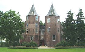
Werkendam
Contenu soumis à la licence CC-BY-SA. Source : Article Werkendam de Wikipédia en français (auteurs)
Regardez d'autres dictionnaires:
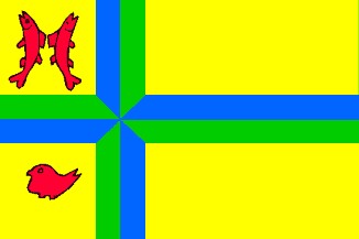
Werkendam — Gemeinde Werkendam Flagge Wappen Provinz Nordbrabant Bürgermeister … Deutsch Wikipedia
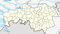
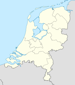
Werkendam — Infobox Settlement official name = Werkendam mapsize = 280px subdivision type = Country subdivision name = Netherlands subdivision type1 = Province subdivision name1 = North Brabant area footnotes = (2006) area total km2 = 121.73 area land km2 =… … Wikipedia
Werkendam — Original name in latin Werkendam Name in other language Verkendam, Werkendam, Веркендам State code NL Continent/City Europe/Amsterdam longitude 51.81 latitude 4.89444 altitude 2 Population 26362 Date 2010 01 29 … Cities with a population over 1000 database
Werkendam — Sp Verkendãmas Ap Werkendam L Nyderlandai … Pasaulio vietovardžiai. Internetinė duomenų bazė
Werkendam — Sp Verkendãmas Ap Werkendam L Olandija … Pasaulio vietovardžiai. Internetinė duomenų bazė
Hank (Werkendam) — Dutch town locator maps mun town caption = The town centre (dark green) and the statistical district (light green) of Hank in the municipality of Werkendam.Hank (coord|51|44|N|4|54|E|type:city(2975)) is a town in the Dutch province of North… … Wikipedia
't Zand, Werkendam — t Zand is a hamlet in the Dutch province of North Brabant. It is located in the municipality of Werkendam, on the southeastern edge of the village of Sleeuwijk.[1] References ^ ANWB Topografische Atlas Nederland, Topografische Dienst and ANWB,… … Wikipedia
't Zand (Werkendam) — t Zand is a hamlet in the Dutch province of North Brabant. It is located in the municipality of Werkendam, on the southeastern edge of the village of Sleeuwijk. ANWB Topografische Atlas Nederland , Topografische Dienst and ANWB, 2005.] References … Wikipedia
Gemeente Werkendam — Admin ASC 2 Code Orig. name Gemeente Werkendam Country and Admin Code NL.06.0870 NL … World countries Adminstrative division ASC I-II
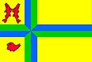
Dussen — Gemeinde Werkendam Flagge Wappen Provinz Nordbrabant … Deutsch Wikipedia

 Pays-Bas