Werkhoven
Contenu soumis à la licence CC-BY-SA. Source : Article Werkhoven de Wikipédia en français (auteurs)
Regardez d'autres dictionnaires:
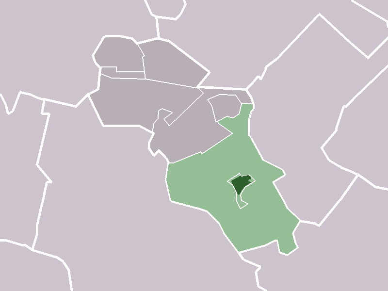
Werkhoven — Dutch town locator maps mun town caption = The village (dark green) and statistical district (light green) of Werkhoven in the municipality of Bunnik.Werkhoven (coord|52|1|N|5|15|E|type:city(1528)) is a town in the Dutch province of Utrecht. It… … Wikipedia
Anciennes communes de la province d'Utrecht — En 1812, la province néerlandaise d Utrecht comptait 56 communes (contre 97 dès 1820). Depuis 2006, il n y en a plus que 29. Étapes principales des fusions : 1989 : L ouest de la province 1954 : Autour de la ville d Utrecht… … Wikipédia en Français
Bloedbroeders — Infobox Film name = Blood Brothers caption = director = Arno Dierickx producer = Reinier Selen Edwin van Meurs writer = Bert Bouma Jan Bernard Bussemaker narrator = starring = Erik van Heijningen Matthijs van de Sande Bakhuyzen Sander van… … Wikipedia
Bunnik — Gemeinde Bunnik Flagge Wappen Provinz Utrecht Bürgermeister … Deutsch Wikipedia
Rhein-Maas-Delta — Mündungsgebiet von Rhein und Maas. Im Vordergrund u. a. die Rotterdamer Hafenanlagen und der Haringvliet … Deutsch Wikipedia
Iris Bringas — Una Voz, Una Promesa su frase célebre Hay que generar que las cosas sucedan Datos generales Nacimiento 21 de j … Wikipedia Español
Bunnik — Infobox Settlement official name = Bunnik mapsize = 280px subdivision type = Country subdivision name = Netherlands subdivision type1 = Province subdivision name1 = Utrecht leader name = H. van Rijnbach de Groot leader party = CDA area footnotes … Wikipedia
Kinderdijk — Coordinates: 51°53′N 4°38′E / 51.883°N 4.633°E / 51.883; 4.633 … Wikipedia
List of places in the Netherlands — This is an alphabetical list of places (cities, towns, villages) in the Netherlands. Lists per province can be found at:* List of towns in Groningen * List of towns in Friesland * List of towns in Drente * List of towns in Overijssel * List of… … Wikipedia
Kromme Rijn — Geobox River name = Kromme Rijn native name = other name = Crooked Rhine other name1 = image size = 220 image caption = country = The Netherlands country1 = state = Utrecht state1 = region = region1 = district = district1 = city = city1 = length … Wikipedia
 Pays-Bas