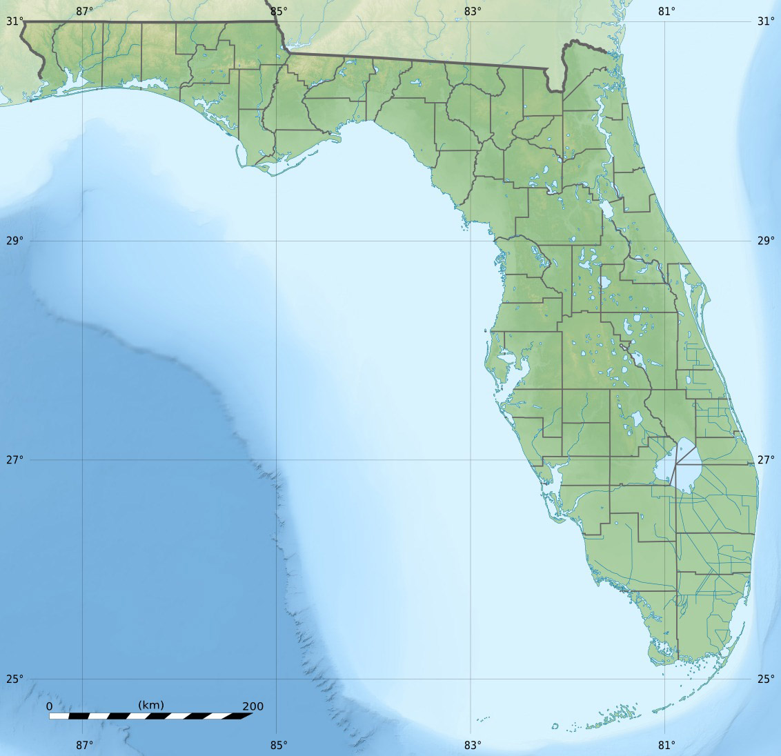
Windley Key
Contenu soumis à la licence CC-BY-SA. Source : Article Windley Key de Wikipédia en français (auteurs)
Regardez d'autres dictionnaires:
Windley Key — is an island in the upper Florida Keys.U.S. 1 (the Overseas Highway) crosses the key at approximately mile markers 84 85.5, between Plantation Key and Upper Matecumbe Key.All of the key is within the Village of Islamorada as of November 4, 1997,… … Wikipedia
Windley Key Fossil Reef Geological State Park — Infobox protected area | name = Windley Key Fossil Reef Geological State Park iucn category = V caption = locator x = 235 locator y = 171 location = Monroe County, Florida, USA nearest city = Islamorada, Florida lat degrees = 24 lat minutes = 56… … Wikipedia
Key deer — A male Key Deer on No Name Key in the Florida Keys Conservation status … Wikipedia
Key Largo — Coordinates: 25°05′11″N 80°26′50″W / 25.0865°N 80.4473°W / 25.0865; 80.4473 … Wikipedia
National Key Deer Refuge — Coordinates: 24°44′00″N 81°24′00″W / 24.7333333°N 81.4°W / 24.7333333; 81.4 The National Key Deer Refuge is a 8,542 acre (34 … Wikipedia
Dagny Johnson Key Largo Hammock Botanical State Park — IUCN Category V (Protected Landscape/Seascape) … Wikipedia
Plantation Key — is an island in Monroe County, Florida, United States. It is located in the upper Florida Keys on U.S. 1 (or the Overseas Highway), between Key Largo and Windley Key.All of the key is within the Village of Islamorada as of November 4, 1997, when… … Wikipedia
Upper Matecumbe Key — is an island in the upper Florida Keys.U.S. 1 (or the Overseas Highway) crosses the key at approximately mile markers 79 83.5, between Windley Key and Lower Matecumbe Key. All of the key is within the Village of Islamorada as of November 4, 1997 … Wikipedia
Cudjoe Key, Florida — CDP Location in … Wikipedia
No Name Key — True Key Deer on No Name Key in the Florida Keys. No Name Key is an island located in the lower Florida Keys in the United States. It is 3 miles from US 1 and sparsely populated with only 43 homes. It is a fairly small island in comparison to its … Wikipedia
 États-Unis
 Windley Key