Wodonga
- Wodonga
-
Wodonga (33 010 habitants) est une ville de l'État de Victoria en Australie sur le Murray, à 300 km au nord-est de Melbourne. Sa ville jumelle est, de l'autre côté du fleuve, Albury, en Nouvelle-Galles-du-Sud.
La ville possède une base militaire, un important marché à bestiaux, une fabrique d'aliments pour animaux, un abattoir, une cartonnerie...
Située à 152 m d'altitude, la ville bénéficie d'un climat tempéré: 21,9 °C de moyenne de température maximale en été, 8,6 °C de moyenne en hiver avec 730 mm de précipitation par an.
Références
Sur les autres projets Wikimedia :
Wikimedia Foundation.
2010.
Contenu soumis à la licence CC-BY-SA. Source : Article Wodonga de Wikipédia en français (auteurs)
Regardez d'autres dictionnaires:
Wodonga — Luftbild von Wodonga. Der Murray River ist oben zu sehen und der Hume Highway in der Mitte. Staat … Deutsch Wikipedia
Wodonga — Wodonga … Wikipedia Español
Wodonga — Original name in latin Wodonga Name in other language Uodonga, Wodonga, uodonga, wo dong jia, wo tong ge, wodong ga, Уодонга State code AU Continent/City Australia/Melbourne longitude 36.12179 latitude 146.88809 altitude 167 Population 31605 Date … Cities with a population over 1000 database
Wodonga — Admin ASC 2 Code Orig. name Wodonga Country and Admin Code AU.07.27170 AU … World countries Adminstrative division ASC I-II
Wodonga — /wəˈdɒŋgə/ (say wuh dongguh) noun → Albury Wodonga. Formerly (1852–76), Belvoir …
Wodonga Middle Years College — is a public school in Wodonga, Victoria, Australia. It is a single college consisting of two campuses, Felltimber and Huon, based on the grounds and facilities of the former public schools Wodonga West Secondary College and Mitchell Secondary… … Wikipedia
Wodonga Senior Secondary College — is a public school in Wodonga, Victoria. It was formed in 2005 2006 when the three public schools in Wodonga; Wodonga High School, Wodonga West Secondary College, and Mitchell Secondary College merged together and pooled resources, as part of a… … Wikipedia
Wodonga High School — was one of three public secondary schools educating Years 7 12 in Wodonga, Victoria. It was founded in 1955, and celebrated it s 50th anniversary in 2005. In 2005 2006 it formally merged and pooled resources with the other two public secondary… … Wikipedia
Wodonga West Secondary College — Wodonga West Secondary was one of three public secondary schools educating Years 7 9 in Wodonga, Victoria. In 2005 2006 it formally merged and pooled resources with the other two public secondary schools in Wodonga, Wodonga High School and… … Wikipedia
Wodonga, Victoria — Infobox Australian Place | type = city name = Wodonga state = vic caption = Aerial view from the south east, Murray River at top and Hume Freeway in the centre lga = City of Wodonga postcode = 3690 area = 400 est = 1852 pop = 29,710 (2006)Census… … Wikipedia
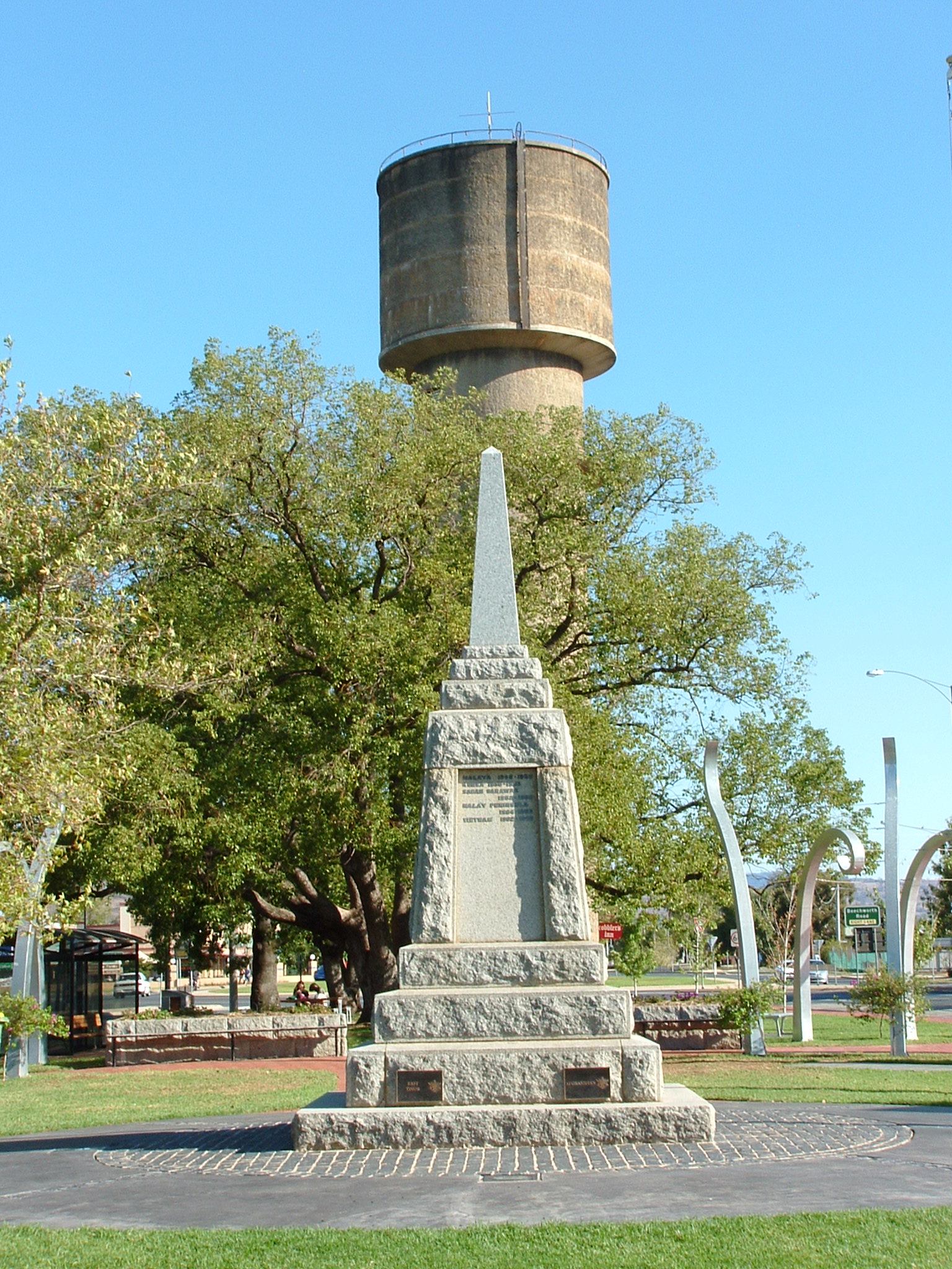
 Le château d'eau et le
 Australie