Zuurdijk
Contenu soumis à la licence CC-BY-SA. Source : Article Zuurdijk de Wikipédia en français (auteurs)
Regardez d'autres dictionnaires:
Ewer — 53° 20′ 10″ N 6° 21′ 47″ E / 53.336, 6.363 … Wikipédia en Français
Hoes Moeshorn — (Zuurdijk,Нидерланды) Категория отеля: Адрес: Moeshorn 10, 9966 VH Zuurdijk, Нидерлан … Каталог отелей
De Marne — Municipality Flag … Wikipedia
Kinderdijk — Coordinates: 51°53′N 4°38′E / 51.883°N 4.633°E / 51.883; 4.633 … Wikipedia
List of places in the Netherlands — This is an alphabetical list of places (cities, towns, villages) in the Netherlands. Lists per province can be found at:* List of towns in Groningen * List of towns in Friesland * List of towns in Drente * List of towns in Overijssel * List of… … Wikipedia
De Adriaan, Haarlem — Windmill De Adriaan De Adriaan is a windmill in the Netherlands that burnt down in 1932 and was rebuilt in 2002. The original windmill dates from 1779 and the mill has been a distinctive part of the skyline of Haarlem for centuries. Contents … Wikipedia
Bokum — 53° 24′ 21″ N 6° 23′ 24″ E / 53.4058, 6.39 … Wikipédia en Français
Broek (De Marne) — 53° 23′ 41″ N 6° 25′ 27″ E / 53.3947, 6.42417 … Wikipédia en Français
De Marne — Héraldique … Wikipédia en Français
Douwen — 53°20′15″N 6°18′11″E / 53.3375, 6.30306 … Wikipédia en Français
 Pays-Bas
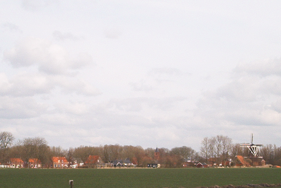
 Vue sur Zuurdijk
 Catégories :