Alpokalja
- Alpokalja
-
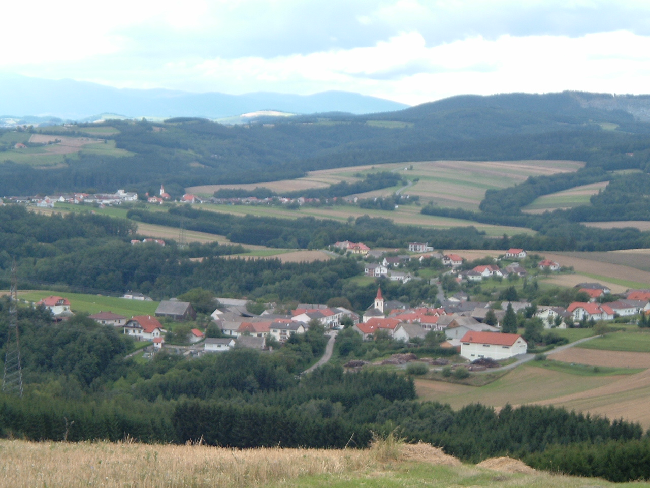
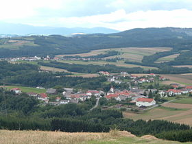
L'Alpokalja (ˈɒlpokɒljɒ) ou Alpenostrand (aːlpənostrɒnt) est une région naturelle située à l'extrémité occidentale de la Hongrie et à l'extrémité orientale de l'Autriche. Ce nom signifie littéralement « Pré-Alpes » dans les deux langues.
Voir aussi
Wikimedia Foundation.
2010.
Contenu soumis à la licence CC-BY-SA. Source : Article Alpokalja de Wikipédia en français (auteurs)
Regardez d'autres dictionnaires:
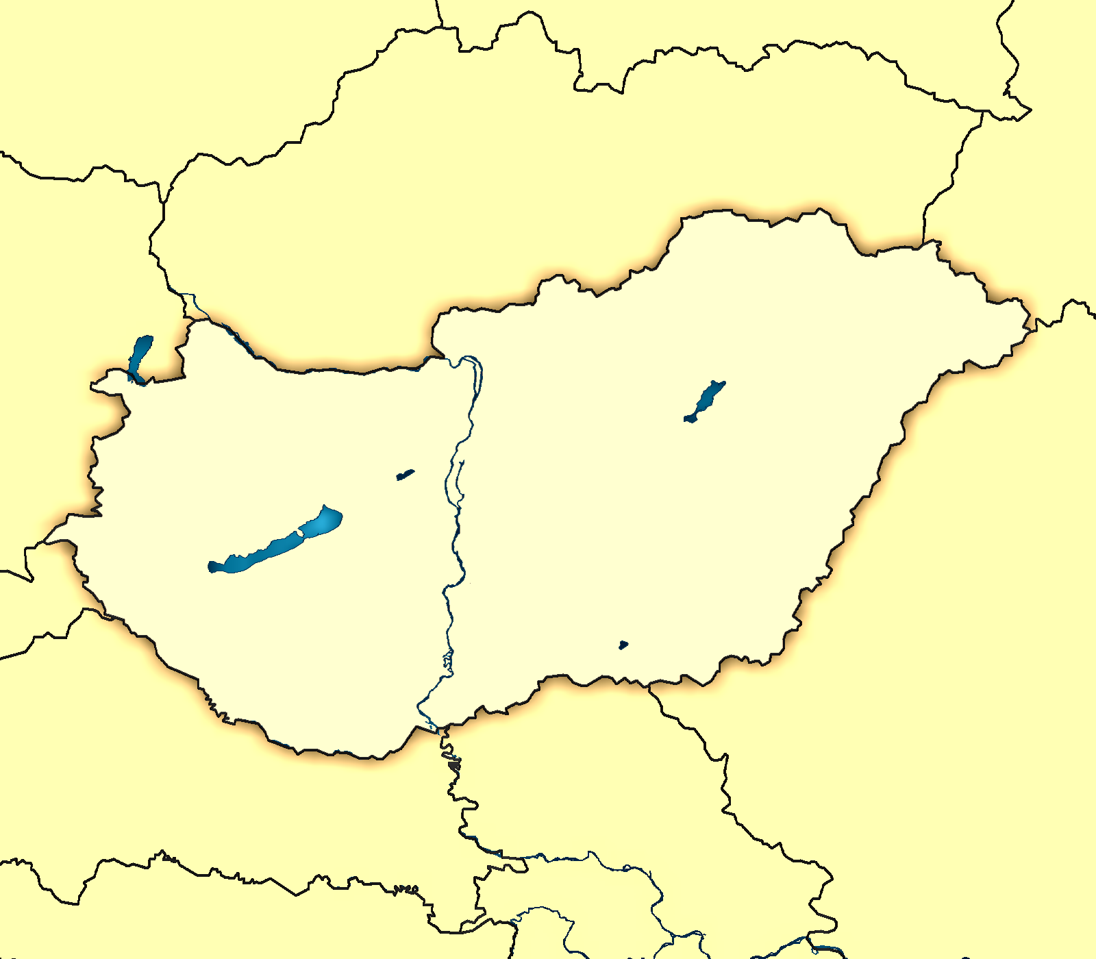
Alpokalja — Saltar a navegación, búsqueda Imagen de satélite de Hungría. La zona con el número 7 indica la región de Alpokalja … Wikipedia Español
Alpokalja — Hu georegion name=Alpokalja imagecaption=The city of Sopron is located in the range location=Western Hungary territory=? highest=Írott kő, 882 m terrain=mountainousAlpokalja (English foots of the Alps ) is a geographic region in Western Hungary,… … Wikipedia
Alpokalja — Sp Álpokalja Ap Alpokalja L kk. Vengrijoje … Pasaulio vietovardžiai. Internetinė duomenų bazė
Alpokalja Vendégház Sopron — (Шопрон,Венгрия) Категория отеля: Адрес: 9400 Шопрон, 9400 Sopron, Bezer … Каталог отелей
Alpokalja Panzió Étterem — (Кёсег,Венгрия) Категория отеля: Адрес: 9730 Кёсег, Szombathelyi út 8 10 … Каталог отелей
Geography of Hungary — Satellite image showing the seven main geographical regions of Hungary (in parenthesis: major region): 1., Great Alföld (Great Alföld) 2., North Hungarian Mountains (North Hungarian Mountains) 3., Transdanubian Mountains (Transdanubia) 4.,… … Wikipedia
Géographie de la Hongrie — Continent Europe Région Europe centrale Coordonnées 47°N 20°E Superficie 108e rang mon … Wikipédia en Français
Szombathely — Infobox Settlement image caption = Aerial view image shield = WĘG Szombathely COA.jpg subdivision type = Country subdivision name = HUN timezone=CET utc offset=+1 timezone DST=CEST utc offset DST=+2 pushpin pushpin label position = pushpin map… … Wikipedia
Transdanubia — Hills near Ibafa, with Mecsek Mountains in the distant background Location Győr Moson Sopron, Komárom Esztergom, Fejér, Veszprém … Wikipedia
Kőszeg Mountains — ( de. Günser Gebirge) is a mountain range in the Alpokalja area. The territory of the range is shared between Austria and Hungary. Its highest point is the Írott kő (literally written stone ) with a height of 883 metres. ee also* Geography of… … Wikipedia
 Transdanubie occidentale
 Burgenland