- Bajany
-
Bajany
(Village)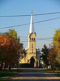
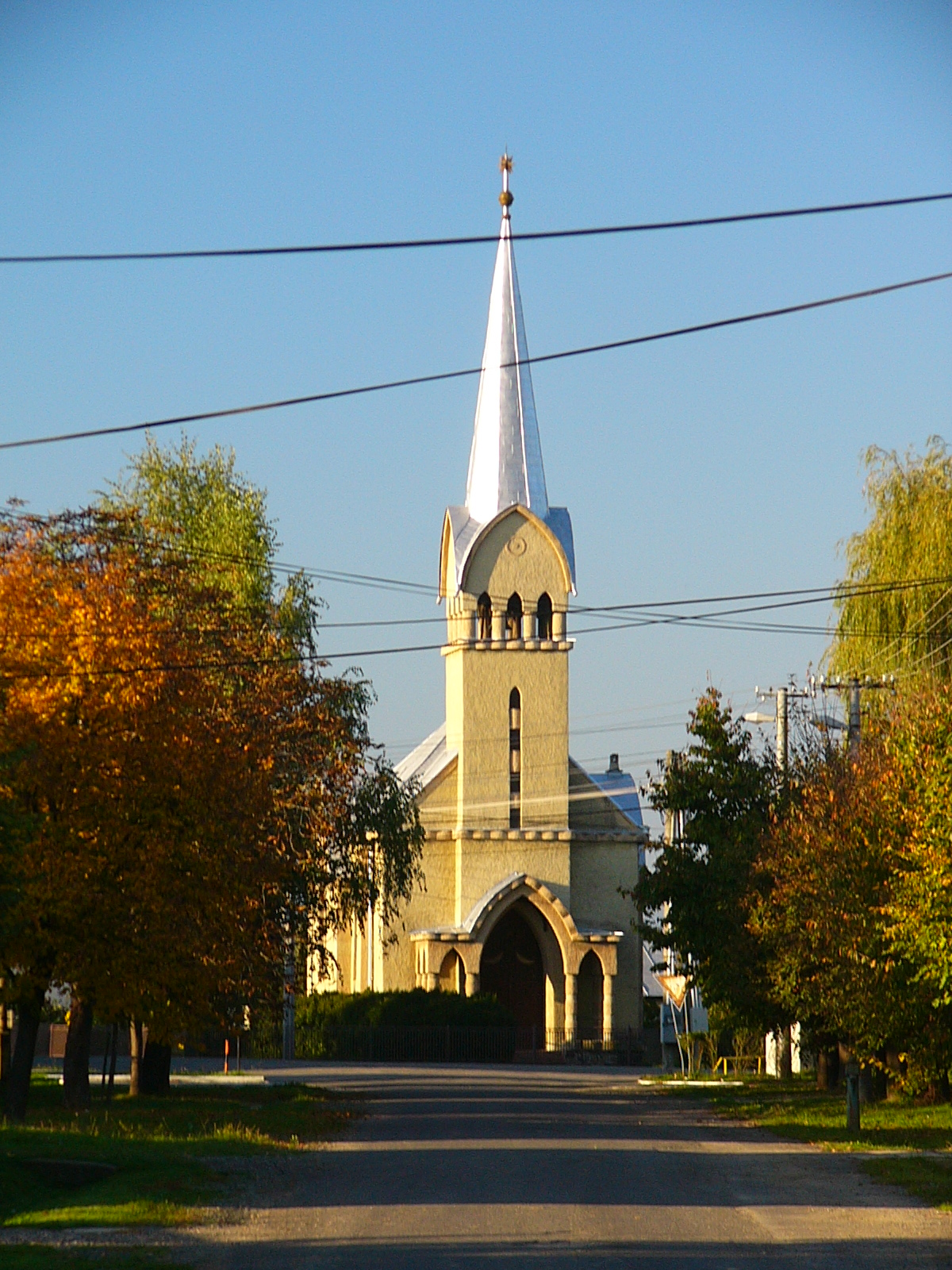
Église de BajanyAdministration Pays  Slovaquie
Région Région de Košice District District de Michalovce Code postal 072 54 Plaque minéralogique MI Starosta (maire) František Genco ( SDKÚ-DS,MOST - HÍD,KDH )
Mandat: 2013
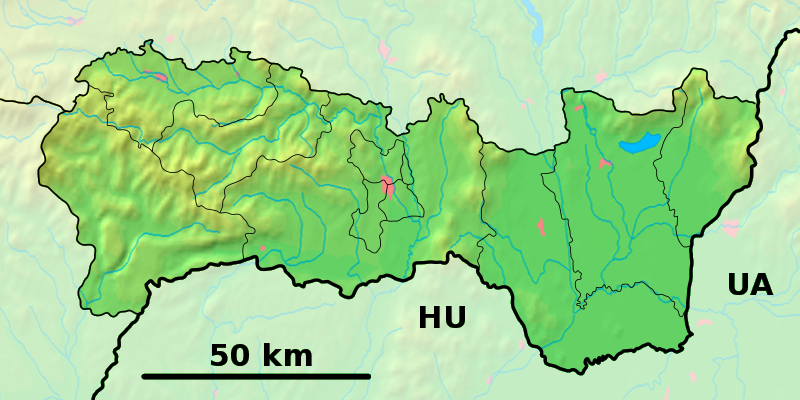
Démographie Population 505 hab. (31.12.2007) Densité 91,1 hab./km2 Géographie Coordonnées Altitude 106 m Superficie 554,6 ha = 5,546 km² Localisation en Slovaquie 
 Bajany
 Bajany
Localisation dans la région de Košice Internet Site de la commune http://www.bajany.sk Sources Resultat des élections http://www.e-obce.sk [1] http://www.statistics.sk [2] http://www.slovakregion.sk/ [3] Bajany (allemand : Wajon ,hongrois : Bajánháza)[4] est un village de Slovaquie situé dans la région de Košice.
Histoire
Première mention écrite du village en 1370[2].
La localité fut annexée par la Hongrie après le premier arbitrage de Vienne le 2 novembre 1938. En 1938, on comptait 576 habitants dont 6 d'origines juives. Elle faisait partie du district de Veľké Kapušany (hongrois : Nagykaposi járás). Le nom de la localité avant la Seconde Guerre mondiale était Bajany/Bajanháza. Durant la période 1938 - 1945, le nom hongrois Bajánháza était d'usage[5]. À la libération, la commune a été réintégrée dans la Tchécoslovaquie reconstituée.
Politique
Liste des Starostas (maires)[6] Nom Parti politique date de l'élection Fin du mandat František Genco Candidat indépendant 02.12.2006 Déc. 2010 Notes et références
- (sk) e-obce.sk. Consulté le 28 janvier 2010
- (sk) (en) Mestská a obecná štatistika SR. Consulté le 28 janvier 2010
- (sk) Slovak region. Consulté le 28 janvier 2010]
- (sk) (en) Názvy obcí Slovenskej republiky (Vývin v rokoch 1773 – 1997). Consulté le 28 janvier 2010
- Osudy slovenských Židov
- Zoznam zvolených starostov obcí, primátorov miest a starostov mestských častí. Consulté le 29 janvier 2010
Catégories :- Village de Slovaquie
- Village et ville du district de Michalovce


Wikimedia Foundation. 2010.