Bound Skerry

Bound Skerry
Bound Skerry
Géographie
Pays Drapeau : Royaume-Uni Royaume-Uni
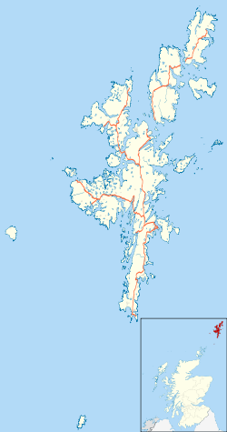
Archipel Shetland
Localisation Océan Atlantique
Coordonnées 60° 25′ 27″ N 0° 43′ 39″ W / 60.4241484, -0.727554660° 25′ 27″ N 0° 43′ 39″ W / 60.4241484, -0.7275546
Administration
Drapeau : Royaume-Uni Royaume-Uni
Nation constitutive Écosse
Council Area Shetland
Démographie
Population Aucun habitant
Autres informations
Fuseau horaire UTC+0

Géolocalisation sur la carte : Shetland

(Voir situation sur carte : Shetland)
Bound Skerry
Bound Skerry

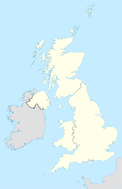
Géolocalisation sur la carte : Royaume-Uni

(Voir situation sur carte : Royaume-Uni)
Bound Skerry
Bound Skerry
Îles du Royaume-Uni

Bound Skerry est une île faisant partie de l'archipel des Skerries extérieures, situé dans les Shetland, en Écosse. Bound Skerry est le point le plus oriental d'Écosse. L'île possède un phare, construit en 1857, pour un coût de 21 000 £. L'île a été bombardé 2 fois pendant la Seconde Guerre Mondiale par les allemands, qui croyaient qu'elle contenait un dépôt de munition.

Liens internes


Wikimedia Foundation. 2010.

Contenu soumis à la licence CC-BY-SA. Source : Article Bound Skerry de Wikipédia en français (auteurs)

Игры ⚽ Поможем написать реферат

Regardez d'autres dictionnaires:

  • Bound Skerry — Infobox Scottish island | latitude=60.43 longitude= 0.72 GridReference=HU702719 celtic name= norse name= meaning of name= area= area rank= highest elevation= Population=0 population rank= main settlement= island group=Out Skerries Shetland local… …   Wikipedia

  • Out Skerries — Not to be confused with Auskerry. Out Skerries Location …   Wikipedia

  • Список Шетландских островов — Шетландский архипелаг …   Википедия

  • List of Shetland islands — This is a list of Shetland islands in Scotland. The Shetland archipelago is located 100 kilometres (62 miles) north of mainland Scotland and the capital Lerwick is almost equidistant from Bergen in Norway and Aberdeen in Scotland. The Shetland… …   Wikipedia

  • Out Skerries — Die Brücke, die die beiden größten Inseln Housay und Bruray miteinander verbindet Gewässer Atlantischer O …   Deutsch Wikipedia

  • Mousa — Location …   Wikipedia

  • Noss — For the fictional alien of this name, see Gravity (Star Trek: Voyager). For NOSS, see Naval Ocean Surveillance System. Noss Location …   Wikipedia

  • Shetland — For other uses, see Shetland (disambiguation). Shetland Sealtainn …   Wikipedia

  • Mainland, Shetland — Location OS grid reference …   Wikipedia

  • Muckle Roe — Location …   Wikipedia

Share the article and excerpts

Direct link
Do a right-click on the link above
and select “Copy Link”