Dugway Proving Ground
- Dugway Proving Ground
-
40°11′19″N 113°12′46″O / 40.18861, -113.21278

Le Dugway Proving Ground est une vaste zone de test située en plein désert.
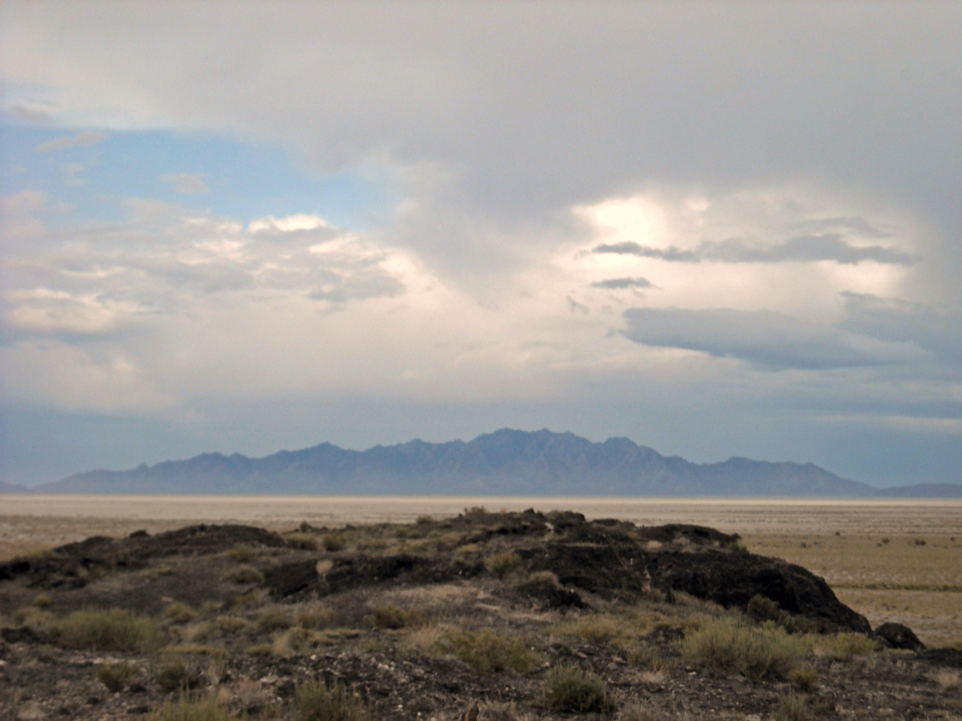
Le Dugway Proving Ground (DPG) est une vaste zone située dans l'Utah appartenant à l'United States Army.
Histoire
Le 6 février 1942, le président des États-Unis, Franklin D. Roosevelt réserva une partie du désert de l'Utah au Département de la Guerre[1]. Puis 6 ans plus tard le Dugway Proving Ground fut officiellement activé.
Mission
La principale mission du Dugway Proving Ground est de tester les systèmes de défenses des États-Unis et des ses alliés face à des attaques chimiques et biologiques[2].
Villages tests
Le Japanese village et le German Village[3]sont deux villages construits en 1943 dans le but de tester les effets des bombe incendiaire.
Incident
Voir aussi
Liens externes
Références
Wikimedia Foundation.
2010.
Contenu soumis à la licence CC-BY-SA. Source : Article Dugway Proving Ground de Wikipédia en français (auteurs)
Regardez d'autres dictionnaires:
Dugway Proving Ground — testing area encompasses a vast area of the western Utah desert. Dugway Proving Ground (DPG) is a US Army facility located approximately 85 miles (140 km) southwest of Salt Lake City, Utah in southern Tooele County and just north of… … Wikipedia
Proving ground — For other uses, see Proving ground (disambiguation). Contents 1 Military and Government 1.1 Canada 1.2 United States … Wikipedia
Dugway — Blick nach Norden in Richtung Dugway Proving Ground Lage in Utah … Deutsch Wikipedia
Dugway — may refer to: Dugway Proving Ground, a United States military weapons testing range in Utah Dugway, Utah, a census designated place near the Dugway Proving Grounds Dugway Brook Watershed, a drainage basin in Cleveland, Ohio This disambiguation… … Wikipedia
Dugway, Utah — CDP Location of Dugway, Utah Coordinates … Wikipedia
Dugway sheep incident — Dead sheep owned by Ray Peck in Skull Valley, 1968[1] The Dugway sheep incident, also known as the Skull Valley sheep kill, was a 1968 sheep kill that has been connected to United States Army chemical and biological warfare programs at Dugway… … Wikipedia
Incidente de las ovejas en Dugway — El incidente de las ovejas en Dugway, también conocido como la matanza de las ovejas de Skull Valley, fue un desastre que tuvo lugar el 12 de abril de 1968 en conexión con los programas de armas químicas y biológicas del Ejército de los Estados… … Wikipedia Español
DPG — Dugway Proving Ground, UT Contributor: CASI … NASA Acronyms
Route of the Lincoln Highway — The Lincoln Highway followed the following route:New YorkThe very short Lincoln Highway section in New York went west from Times Square on 42nd Street to the Weehawken Ferry. It was realigned down Broadway from which it turned right and passed… … Wikipedia
Michael Army Airfield — 2006 USGS Photo IATA: DPG – ICAO: KDPG – FAA LID: DPG … Wikipedia