Gazipur (district)
Contenu soumis à la licence CC-BY-SA. Source : Article Gazipur (district) de Wikipédia en français (auteurs)
Regardez d'autres dictionnaires:
Gazipur District — Admin ASC 2 Code Orig. name Gāzipur District Country and Admin Code BD.81.18 BD … World countries Adminstrative division ASC I-II
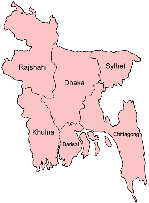
Gazipur District — See Ghazipur District for a district in India Infobox of BD districts native name = Gazipur skyline = skyline size = skyline caption = locator position = right latd = 24.00 longd = 90.43 division name = Dhaka Division population as of = 1991… … Wikipedia
Gazipur District — noun One of the seventeen districts in the Dhaka Division of Bangladesh … Wiktionary
Gazipur (zila) — Capital Gazipur Entidad Zila … Wikipedia Español
Gazipur, Dhaka Division — Infobox Settlement official name = Gazipur other name = native name = nickname = settlement type = motto = imagesize = image caption = flag size = image seal size = image shield = shield size = image blank emblem = blank emblem type = blank… … Wikipedia
Gazipur Sadar Upazila — Infobox of upazilas native name = Gazipur Sadar locator position = right latd = 24.0000 longd = 90.4250 division name = Dhaka Division district = Gazipur District population as of = 1991 population total = 588492 population density = 1318 area… … Wikipedia
Gazipur, Barguna — Infobox Settlement official name = Gazipur, Barguna other name = native name = nickname = settlement type = motto = imagesize = image caption = flag size = image seal size = image shield = shield size = image blank emblem = blank emblem type =… … Wikipedia
Dhaka University of Engineering & Technology, Gazipur — ঢাকা প্রকৌশল ও প্রযুক্তি বিশ্ববিদ্যালয়, গাজীপুর Established 1980 Type Public, Coeducational … Wikipedia
Mymensingh District — Mymensingh ময়মনসিংহ District Office of the District Commissioner of Mymensingh … Wikipedia
Kaliganj Upazila, Gazipur — Infobox of upazilas native name = Kaliganj locator position = right latd = 23.9250 longd = 90.5667 division name = Dhaka Division district = Gazipur District population as of = 1991 population total = 175915 population density = 1108 area total … Wikipedia