Kalotina
- Kalotina
-
Kalotina (en bulgare Калотина) est un village de l'ouest de la Bulgarie.
Géographie
Le village de Kalotina est situé dans l'ouest de la Bulgarie, à 44 km au nord-ouest de Sofia.
La ville fait partie de la commune de Dragoman ainsi que de la région administrative de Sofia.
Histoire
Cette section est vide, insuffisamment détaillée ou incomplète.
Votre aide est la bienvenue !
Économie
Cette section est vide, insuffisamment détaillée ou incomplète.
Votre aide est la bienvenue !
Éducation et culture
Cette section est vide, insuffisamment détaillée ou incomplète.
Votre aide est la bienvenue !
Galerie
-
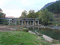
Pont sur la Nichava près de Kalotina
-
L'élise Saint-Nicolas, dans le hameau de Divina
Voir aussi
Liens internes
Liens externes
Notes et références
Wikimedia Foundation.
2010.
Contenu soumis à la licence CC-BY-SA. Source : Article Kalotina de Wikipédia en français (auteurs)
Regardez d'autres dictionnaires:
Kalotina — (Калотина) Hilfe zu Wappen … Deutsch Wikipedia
Kalotina — ( bg. Калотина) is a village in Dragoman municipality, Sofia Province, in westernmost central Bulgaria. As of 2005 it has 282 inhabitants and the mayor is Mariya Naydenova. The village is located at the border with Serbia, 55 km to the northwest… … Wikipedia
Grenzübergang Kalotina — Der Grenzübergang Kalotina (bulgarisch ГКПП Калотина / GKPP „Kalotina, „Granitschen Kontrolno Propuskwatelen Punkt „Kalotina“) liegt zwischen Bulgarien und Serbien, zwei Kilometer westlich des Dorfes Kalotina im äußersten Westen Bulgariens. Der… … Deutsch Wikipedia
Nišava — (Nishava, Нишава) The Sićevo gorge, eastern Serbia Origin Bulgaria, Stara Planina mountains Mouth Južna Morava, west of Niš … Wikipedia
Trakiya motorway — Infobox road highway name = Trakiya motorway marker alternate name = автомагистрала „Тракия“ length = planned: 443 km built: 280 km direction = west east starting terminus = Kalotina (planned) ending terminus = Burgas (planned) cities = Sofia,… … Wikipedia
Dragoman marsh — Coordinates: 42°55′54″N 22°57′42″E / 42.93167°N 22.96167°E / 42.93167; 22.96167 … Wikipedia
Dragoman, Bulgaria — Coordinates: 42°55′N 22°56′E / 42.917°N 22.933°E / 42.917; 22.933 … Wikipedia
Nišava (Fluss) — Nišava Südliche Morava DatenVorlage:Infobox Fluss/GKZ fehlt … Deutsch Wikipedia
Church of St Peter, Berende — Church of St Peter View from the west with the entrance door … Wikipedia
Jovan Vraniškovski — Jovan VI. von Ohrid (mazedonisch Јован Охридски; * 28. Februar 1966 in Bitola, SR Mazedonien, SFR Jugoslawien), geboren Zoran Vraniškovski (maz. Зоран Вранишковски) bekannt als Jovan Vraniškovski (maz. Јован Вранишковски) ist ein… … Deutsch Wikipedia
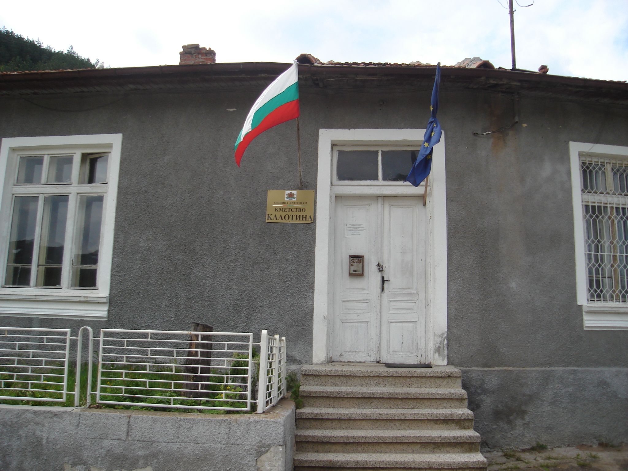
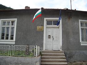 La mairie annexe de Kalotina
 Bulgarie
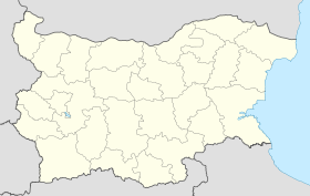
 Kalotina