Mets Ayrum

Mets Ayrum

41° 10′ 18″ N 44° 49′ 09″ E / 41.171667, 44.819167

Mets Ayrum
Մեծ Այրում
Administration
Pays Drapeau d'Arménie Arménie
Région Lorri
Maire Papik Arushanyan[1]
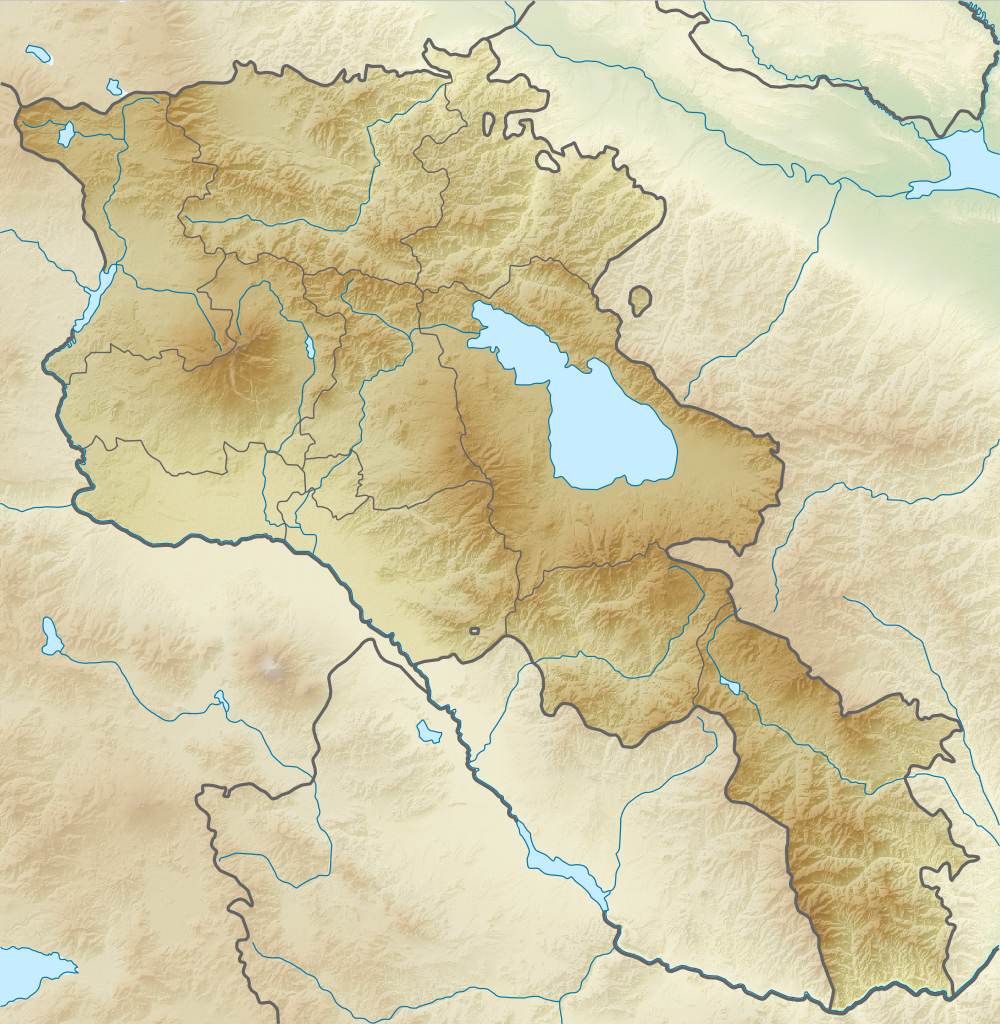
(2008)
Géographie
Coordonnées 41° 10′ 18″ Nord
       44° 49′ 09″ Est
/ 41.171667, 44.819167
Superficie 2 256 ha = 22,56 km2
Démographie
Population 911 hab.
Densité 40,4 hab./km2
Localisation
Voir la carte topographique
Mets Ayrum
Voir la carte administrative
Mets Ayrum

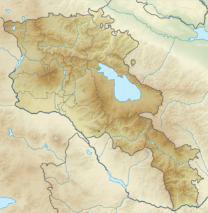
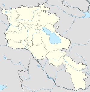
Mets Ayrum (en arménien Մեծ Այրում) est une communauté rurale du marz de Lorri en Arménie. Comprenant également la localité de Pokr Ayrum, elle compte 911 habitants en 2008[2].

Notes et références

  1. (hy+en) Central Electoral Commission of the Republic of Armenia. Consulté le 24 janvier 2011.
    Pour obtenir la page en anglais, cliquez sur le drapeau arménien en haut à gauche, et sélectionnez « English » ; ensuite, dans le menu vertical de gauche, cliquez sur « Local », sélectionnez le marz pertinent, puis la dernière élection correspondant à la communauté voulue.
  2. (en) ArmStat, Marzes of the Republic of Armenia in figures, 2008, « RA Lori Marz », 2008. Consulté le 30 septembre 2009.

Wikimedia Foundation. 2010.

Contenu soumis à la licence CC-BY-SA. Source : Article Mets Ayrum de Wikipédia en français (auteurs)

Игры ⚽ Поможем сделать НИР

Regardez d'autres dictionnaires:

  • Mets Ayrum — Not to be confused with Ayrum. Coordinates: 41°10′18″N 44°49′09″E / 41.17167°N 44.81917°E / 41.17167; 44.81917 …   Wikipedia

  • Mets Parni — Coordinates: 40°50′14″N 44°06′33″E / 40.83722°N 44.10917°E / 40.83722; 44.10917 …   Wikipedia

  • Mets Parni — 40° 50′ 14″ N 44° 06′ 33″ E / 40.837222, 44.109167 …   Wikipédia en Français

  • List of municipalities of Armenia — Map of Armenia The Municipalities of Armenia are referred to as communities (համայնքներ hamaynkner, singular համայնք hamaynk ). Each community is self governing and consists of one or more settlements (bnakavayrer, singular bnakavayr).… …   Wikipedia

  • Ayrums — (Azeri: ayrım ; Armenian: այրում ) were a Turkic speaking tribe in the Caucasus. They became assimilated by Azeris and possibly Armenians in the late 19th century. Some Azeris from the Gazakh Agstafa region may still be aware of their Ayrum roots …   Wikipedia

  • Akhtala — 41° 08′ 54″ N 44° 45′ 56″ E / 41.1483, 44.7656 …   Wikipédia en Français

  • Alaverdi — 41° 07′ 25″ N 44° 38′ 52″ E / 41.123619, 44.647775 …   Wikipédia en Français

  • Alaverdi (Arménie) — Alaverdi Ալավերդի Administration …   Wikipédia en Français

  • Kalinino — Tachir Tachir Տաշիր Administration Pays  Arménie …   Wikipédia en Français

  • Kirovakan — Vanadzor Vanadzor Վանաձսր Héraldique …   Wikipédia en Français

Share the article and excerpts

Direct link
Do a right-click on the link above
and select “Copy Link”