- Otoka
-
Otoka
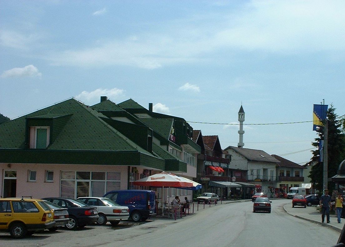
Отока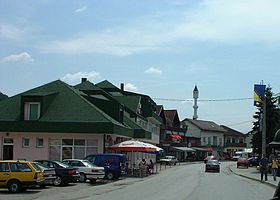 Le centre d'Otoka
Administration Pays  Bosnie-Herzégovine
Entité  Fédération de Bosnie-et-Herzégovine et
  République serbe de Bosnie
Canton Una-Sana Municipalité Bosanska Krupa et Krupa na Uni Géographie Coordonnées Démographie Population 4 063 hab. (1991) Localisation 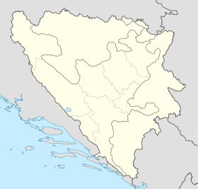
 Otoka
OtokaOtoka (en serbe cyrillique : Отока) est une localité de Bosnie-Herzégovine. Elle est située en partie dans la municipalité de Bosanska Krupa et dans le canton d'Una-Sana, Fédération de Bosnie-et-Herzégovine, et en partie dans la municipalité de Krupa na Uni, République serbe de Bosnie. Au recensement de 1991, elle comptait 4 063 habitants, dont une majorité de Musulmans (Bosniaques)[1].
Sommaire
Histoire
Avant la guerre de Bosnie-Herzégovine, le village d'Otoka faisait partie de la municipalité de Bosanska Krupa ; à la suite des accords de Dayton, il a été partiellement rattaché à la municipalité nouvellement créée de Krupa na Uni, intégrée à la République serbe de Bosnie.
Démographie
Répartition de la population (1991)
Nationalité Nombre % Musulmans 3 803 93,60 Serbes 151 3,71 Yougoslaves 52 1,27 Croates 13 0,31 Inconnus/autres 44 1,08[1] En 1991, la communauté locale d'Otoka comptait 5 309 habitants, répartis de la manière suivante[2] :
Nationalité Nombre % Musulmans 4 962 93,46 Serbes 223 4,20 Yougoslaves 52 0,98 Croates 17 0,32 Inconnus/autres 55 1,03 Notes et références
- (bs)(hr)(sr) Livre : Composition nationale de la population - Résultats de la République par municipalités et localités 1991, Bulletin statistique n°234, Publication de l'Institut national de statistique de Bosnie-Herzégovine, Sarajevo.
- (bs)(hr)(sr)[PDF] Recensement par communautés locales sur http://www.fzs.ba, Bosnie-Herzégovine - Fédération de Bosnie-et-Herzégovine - Institut fédéral de statistique. Consulté le 11 octobre 2010
Voir aussi
Articles connexes
Liens externes
- (en) Maplandia
- (en) Vue satellite de Otoka sur fallingrain.com
Catégories :- Localité de Bosanska Krupa
- Localité de Krupa na Uni
- Localité de la République serbe de Bosnie à majorité bosniaque

Wikimedia Foundation. 2010.