Pearl Street (Manhattan)
Contenu soumis à la licence CC-BY-SA. Source : Article Pearl Street (Manhattan) de Wikipédia en français (auteurs)
Regardez d'autres dictionnaires:
Pearl Street (Manhattan) — Pearl Street is a street in the Lower section of the New York City borough of Manhattan, running northeast from Battery Park to the Brooklyn Bridge, then turning west and terminating at Centre Street. Pearl Street generally marks the original… … Wikipedia
Pearl Street Station — was the first central power plant in the United States. It was located at 255 257 Pearl Street in Manhattan on a site measuring 50 by 100 feet. Edison by Matthew Josephson. McGraw Hill, New York, 1959, pg. 255. OCLC|485621, ISBN 0070330468 ] It… … Wikipedia
Pearl Street — Cette page d’homonymie répertorie les différents sujets et articles partageant un même nom. Perl Street peut faire référence à: Pearl Street, une rue de Manhattan Pearl Street Station Pearl Street (Albany, New York) ( … Wikipédia en Français
Pearl Street Schoolhouse — Infobox nrhp name = Pearl Street Schoolhouse nrhp type = imagesize = 300px caption = Front (north) elevation and east profile, 2007 location = nearest city = lat degrees = 41 lat minutes = 39 lat seconds = 22 lat direction = N long degrees = 74… … Wikipedia
Cherry Street (Manhattan) — East end of Cherry Street at Vladeck Houses and Corlear s Hook Park … Wikipedia
Christopher Street (Manhattan) — For other uses, see Christopher Street (disambiguation). Street sign … Wikipedia
Chambers Street (Manhattan) — For other uses, see Chambers Street (disambiguation). Eastern end towards the Manhattan Municipal Building Chambers Street is a bi directional (two way) street in the New York City borough of Manhattan. It runs from River Terrace, Battery Park… … Wikipedia
Nassau Street (Manhattan) — Coordinates: 40°42′37″N 74°00′29″W / 40.71028°N 74.00806°W / 40.71028; 74.00806 … Wikipedia
Lafayette Street (Manhattan) — Lafayette Street is a city street in New York City s Lower Manhattan. Originally, the part of the street below Canal Street was called Elm Street.The street originates from the intersection of Reade Street and Centre Street in Lower Manhattan;… … Wikipedia
Worth Street (Manhattan) — Worth Street is a bi directional street in the Manhattan borough of New York City. It runs from Hudson Street, TriBeCa, in the west to Chatham Square in the east. Past Chatham Square, the roadway continues as Oliver Street, which runs one way… … Wikipedia
 Pour les articles homonymes, voir Pearl Street.
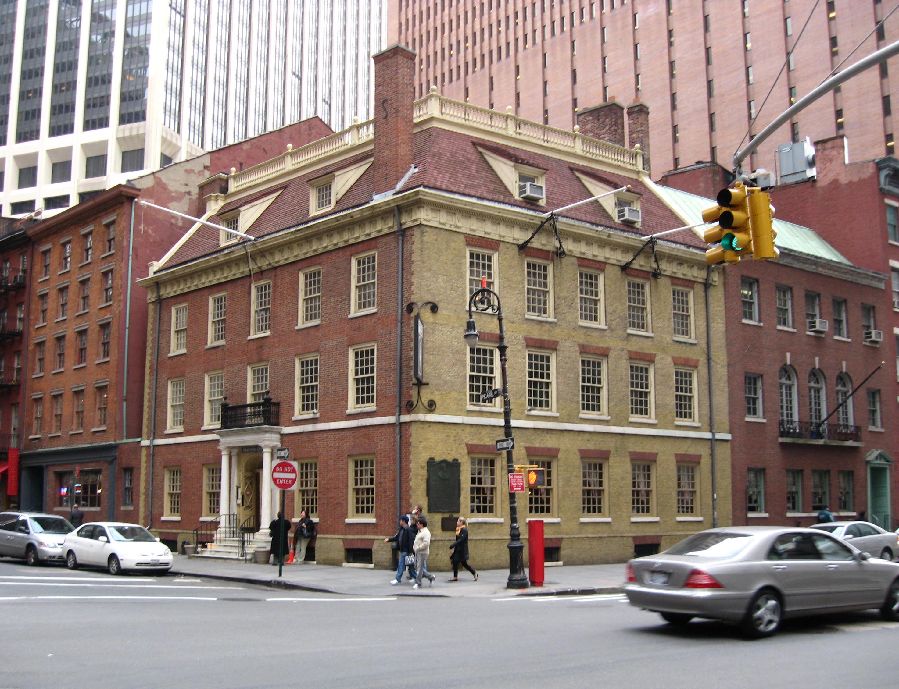
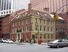 Fraunce Tavern à l'angle de Pearl Street et Broad Street.