Považany

Považany
Považany
(Village)
Administration
Pays Drapeau de Slovaquie Slovaquie
Région Région de Trenčín
District District de Nové Mesto nad Váhom
Code postal 916 26
Plaque minéralogique NM
Starosta (maire) Eva Ninisová ( Indépendant )

Mandat: 2013

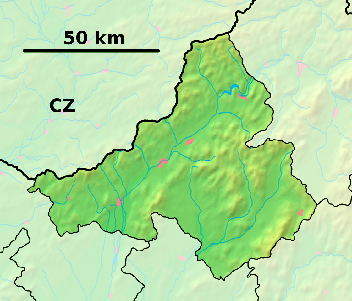
Démographie
Population 1 326 hab. (31.12.2008)
Densité 151,6 hab./km2
Géographie
Coordonnées 48° 42′ 45″ Nord
       17° 50′ 30″ Est
/ 48.7125, 17.841667
Altitude 176 m
Superficie 874,8328 ha = 8,748328 km²
Localisation en Slovaquie
Voir la carte physique
Localisation de la ville
Považany
Voir la carte administrative
Localisation de la ville
Považany
Localisation dans la région de Trenčín
Voir la carte physique
Localisation de la ville
Považany
Voir la carte administrative
Localisation de la ville
Považany
Sources
Resultat des élections
http://www.e-obce.sk [1]
http://www.statistics.sk [2]
http://www.slovakregion.sk/ [3]


Považany est un village de Slovaquie situé dans la région de Trenčín.

Histoire

La première mention écrite du village date de 1263[2].

Notes et références

  1. (sk) e-obce.sk. Consulté le 22 février 2010
  2. a et b (sk) (en) Mestská a obecná štatistika SR. Consulté le 22 février 2010
  3. (sk) Slovak region. Consulté le 22 février 2010


Wikimedia Foundation. 2010.

Contenu soumis à la licence CC-BY-SA. Source : Article Považany de Wikipédia en français (auteurs)

Игры ⚽ Поможем написать курсовую

Regardez d'autres dictionnaires:

  • Povazany — Považany Wappen Karte …   Deutsch Wikipedia

  • Považany — Wappen Karte …   Deutsch Wikipedia

  • Považany — is a village and municipality in Nové Mesto nad Váhom District in the Trenčín Region of western Slovakia.HistoryIn historical records the village was first mentioned in 1263.GeographyThe municipality lies at an altitude of 177 metres and covers… …   Wikipedia

  • Rudnay — Datei:Alexander Rudnay.jpg Alexander Rudnay, Lithographie von Friedrich Lieder, 1829 Alexander Rudnay (* 4. Oktober 1760 in Svätý Kríž nad Váhom (dt. damals Heyl Creütz), heute Teil von Považany, Slowakei; † 13. September 1831 in Gran (Esztergom) …   Deutsch Wikipedia

  • Altturn — Stará Turá Wappen Karte …   Deutsch Wikipedia

  • Bahnstrecke Bratislava-Žilina — Bratislava–Žilina Bahnhof in Leopoldov …   Deutsch Wikipedia

  • Cachtice — Čachtice Wappen Karte …   Deutsch Wikipedia

  • Liste der Städte und Gemeinden in der Slowakei/M-R — Übersicht M bis R Teil 1 A bis G Teil 2 H bis Ľ Teil 3 M bis R Teil 4 S bis Ž Übersicht M N Ň O P R M Städte und Gemeinden in der Slowakei …   Deutsch Wikipedia

  • Liste der Städte und Gemeinden in der Slowakei Teil 3 — Übersicht M bis R Teil 1 A bis G Teil 2 H bis Ľ Teil 3 M bis R Teil 4 S bis Ž Übersicht M N Ň O P R M Städte und Gemeinden in der Slowakei …   Deutsch Wikipedia

  • Nova Lehota — Nová Lehota Wappen Karte …   Deutsch Wikipedia

Share the article and excerpts

Direct link
Do a right-click on the link above
and select “Copy Link”