Qmatiye
Contenu soumis à la licence CC-BY-SA. Source : Article Qmatiye de Wikipédia en français (auteurs)
Regardez d'autres dictionnaires:
Qmatiye — is a village in Aley District in the Mount Lebanon Governorate of Lebanon … Wikipedia
Aley District — Infobox Settlement name =Aley District settlement type =District official name =عاليه nickname = motto = imagesize = 300px image caption = flag size = image seal size = image shield = shield size = image blank emblem = blank emblem type = blank… … Wikipedia
Shemlan — شملان Chemlane … Wikipedia
Middle East Centre for Arabic Studies — The Middle East Centre for Arabic Studies (MECAS) was an Arabic language college in Chemlane (Shemlan), in the Mount Lebanon Governorate of Lebanon. It was opened by the British Government in 1947. Initially, the language center was housed in a… … Wikipedia
Nabaa Al Safa — is a village in Aley District in the Mount Lebanon Governorate of Lebanon. v · Aley District … Wikipedia
Bsous — (ar) بسوس Administration Pays … Wikipédia en Français
District d'Aley — (قضاء عاليه) Carte de localisation du district. Administration Pays … Wikipédia en Français
 Liban
Liban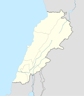
 Qmatiye