Rykynčice
- Rykynčice
-
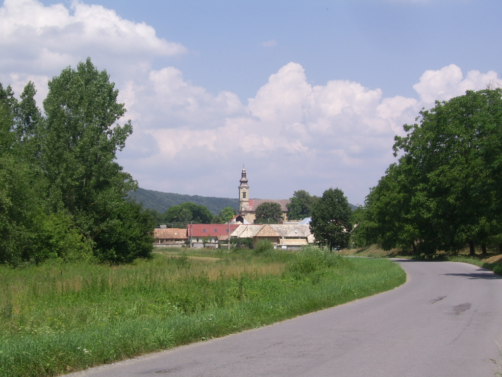
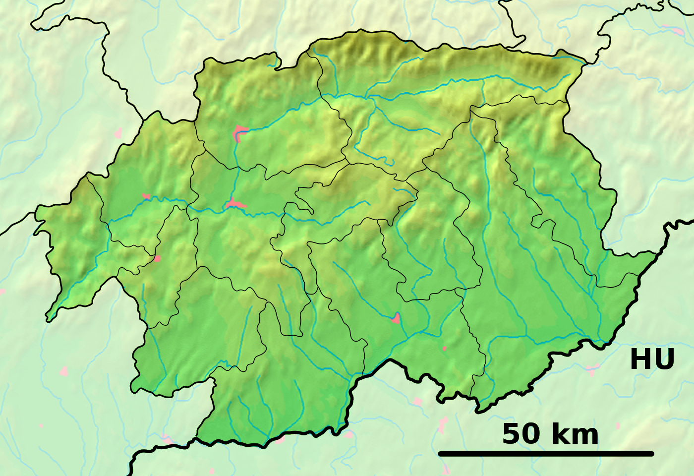
Rykynčice (allemand : Ruckinschitz, hongrois : Rakonca)[4] est un village de Slovaquie situé dans la région de Banská Bystrica.
Histoire
La première mention écrite du village date de 1279[2].
Notes et références
Sur les autres projets Wikimedia :
Catégories :
- Village de Slovaquie
- Village et ville du district de Krupina
Wikimedia Foundation.
2010.
Contenu soumis à la licence CC-BY-SA. Source : Article Rykynčice de Wikipédia en français (auteurs)
Regardez d'autres dictionnaires:
Rykynčice — is a village and municipality in the Krupina District of the Banská Bystrica Region of Slovakia … Wikipedia
Liste der Städte und Gemeinden in der Slowakei/M-R — Übersicht M bis R Teil 1 A bis G Teil 2 H bis Ľ Teil 3 M bis R Teil 4 S bis Ž Übersicht M N Ň O P R M Städte und Gemeinden in der Slowakei … Deutsch Wikipedia
Liste der Städte und Gemeinden in der Slowakei Teil 3 — Übersicht M bis R Teil 1 A bis G Teil 2 H bis Ľ Teil 3 M bis R Teil 4 S bis Ž Übersicht M N Ň O P R M Städte und Gemeinden in der Slowakei … Deutsch Wikipedia
Banská Bystrica Region — Geobox | Region name = Banská Bystrica other name = category = Region image caption = image caption = symbol = symbol type = Coat of arms etymology = official name = motto = nickname = country = Slovakia country state = region = district =… … Wikipedia
Dudince — Coordinates: 48°10′00″N 18°52′58″E / 48.1666667°N 18.88278°E / 48.1666667; 18.88278 … Wikipedia
Krupina District — Infobox Slovak district subject name = Krupina District region district slovak region = Banská Bystrica Region population = 22,841 (2001) prefix = ? area = 585 car plate = KA image location = Okres krupina.png Krupina District ( okres Krupina )… … Wikipedia
Cerovo — Krupina in the Banská Bystrica Region Cerovo (earlier Čerové, Čerowo; Hungarian: Ceri) is a village and municipality in the Krupina District of the Banská Bystrica Region of Slovakia. History The village was first … Wikipedia
Devičie — Krupina in the Banská Bystrica Region Devičie (Hungarian: Devicse) is a village and municipality in the Krupina District of the Banská Bystrica Region of Slovakia. History Settlements from the Bronze Age … Wikipedia
Dolné Mladonice — Krupina in the Banská Bystrica Region Dolné Mladonice (Hungarian: Alsólégénd) is a village and municipality in the Krupina District of the Banská Bystrica Region of Slovakia. History In historical record … Wikipedia
Dolný Badín — Krupina in the Banská Bystrica Region Dolný Badín (Hungarian: Alsóbágyon, earlier Alsóbadin) is a village and municipality in the Krupina District of the Banská Bystrica Region of Slovakia. History The area of the village … Wikipedia

 Slovaquie
 Rykynčice