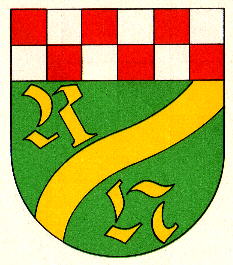
- Rötsweiler-Nockenthal
-
Rötsweiler-Nockenthal 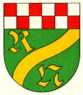

Administration Toponyme officiel Rötsweiler-Nockenthal Pays  Allemagne
Land  Rhénanie-Palatinat
Arrondissement
(Landkreis)Arrondissement de Birkenfeld Code communal
(Gemeindeschlüssel)07 1 34 072 Code postal 55767 Indicatif téléphonique 06787 Immatriculation BIR Site web http://www.roetsweiler-nockenthal.de/ Politique Bourgmestre
(Ortsbürgermeister)Hans-Dieter Kappler Partis au pouvoir Géographie Coordonnées Altitude (NN) 330 m Superficie 3.21 km2 Démographie Population 484 hab. (31/12/2009) Densité 151 hab./km2 modifier 
Rötsweiler-Nockenthal est une municipalité allemande située dans le land de Rhénanie-Palatinat et l'Arrondissement de Birkenfeld.
Catégorie :- Commune de Rhénanie-Palatinat

Wikimedia Foundation. 2010.