Tsaghkashen
Contenu soumis à la licence CC-BY-SA. Source : Article Tsaghkashen de Wikipédia en français (auteurs)
Regardez d'autres dictionnaires:
Tsaghkashen (Aragatsotn) — Pour l’article homonyme, voir Tsaghkachen (Gegharkunik). 40° 30′ 29″ N 44° 20′ 59″ E … Wikipédia en Français
Tsaghkashen, Aragatsotn — Infobox Settlement official name =Tsaghkashen Ծաղկաշեն native name = pushpin mapsize =150px subdivision type = Country subdivision name = Armenia subdivision type1 = Marz (Province) subdivision name1 =Aragatsotn leader title = leader name =… … Wikipedia
Tsaghkashen, Gegharkunik — Infobox Settlement official name =Tsaghkashen Ծաղկաշեն native name = pushpin mapsize =150px subdivision type = Country subdivision name = Armenia subdivision type1 = Marz (Province) subdivision name1 =Gegharkunik leader title = leader name =… … Wikipedia
Tsakhkashen — or Tsaghkashen or Tsaghkachen may refer to: *Tsaghkashen, Aragatsotn, Armenia *Tsakhkashen, Ararat, Armenia *Tsaghkashen, Gegharkunik, Armenia *Sizavet, Armenia, formerly Tsakhkashen *Tsaghkaber, Armenia, formerly Tsakhkashen … Wikipedia
List of municipalities of Armenia — Map of Armenia The Municipalities of Armenia are referred to as communities (համայնքներ hamaynkner, singular համայնք hamaynk ). Each community is self governing and consists of one or more settlements (bnakavayrer, singular bnakavayr).… … Wikipedia
Oshakan — This article is about a town in Armenia. For the city in Japan, see Osaka. Oshakan Օշական Oshakan as seen from the western side of Didikond Hill … Wikipedia
Gavar — Coordinates: 40°21′32″N 45°07′36″E / 40.35889°N 45.12667°E / 40.35889; 45.12667 … Wikipedia
Aparan — This article is about the town. For the Malayalam film, see Aparan (film). Aparan Panorama of Aparan with Mount Aragats on the right … Wikipedia
Artsvashen — For the village in Tartar Rayon, Azerbaijan, see Seysulan. Coordinates: 40°38′N 45°30′E / 40.633°N 45.5°E / 40.633; 45.5 … Wikipedia
Nerkin Getashen — Coordinates: 40°08′45″N 45°15′50″E / 40.14583°N 45.26389°E / 40.14583; 45.26389 … Wikipedia
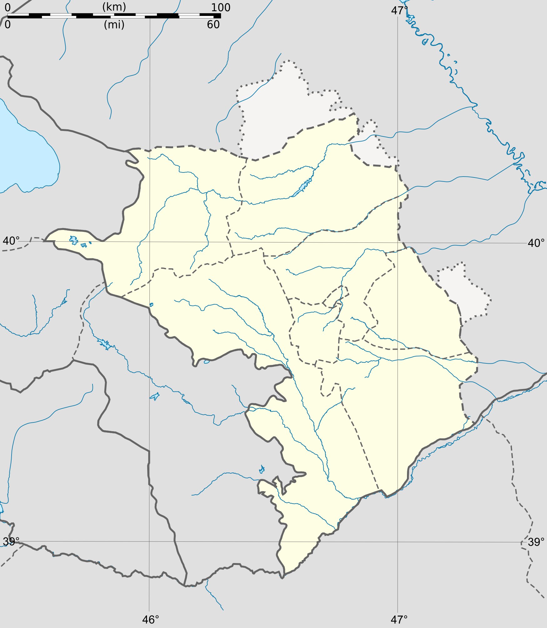
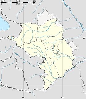
 Haut-Karabagh
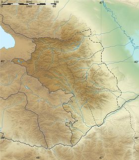

 Portail du Haut-Karabagh