- Vyšehoří
-
Vyšehoří Administration Pays  République tchèque
District Šumperk Région région d'Olomouc Code postal 789 01 Maire Zdeněk Hroch Géographie Coordonnées Altitude 324 m Superficie 347 ha = 3,47 km2 Démographie Population 200 hab. (2006) Densité 57,6 hab./km2 Localisation 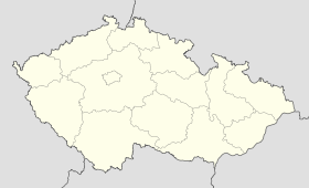
 Vyšehoří
Vyšehoří est un village du district de Šumperk dans la région d'Olomouc en Tchéquie.
Histoire
Catégorie :- Village de la région d'Olomouc

Wikimedia Foundation. 2010.