Šelpice
- Šelpice
-
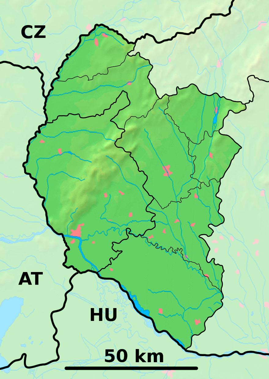
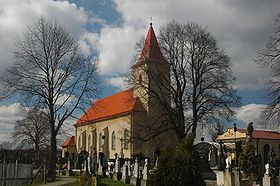
Šelpice (allemand : Deutschdorf bei Dürrnbach )[4] est un village de Slovaquie situé dans la région de Trnava.
Histoire
Première mention écrite du village en 1283.
Notes et références
Catégories :
- Village de Slovaquie
- Village et ville du district de Trnava
Wikimedia Foundation.
2010.
Contenu soumis à la licence CC-BY-SA. Source : Article Šelpice de Wikipédia en français (auteurs)
Regardez d'autres dictionnaires:
Šelpice — is a village and municipality of Trnava District in the Trnava region of Slovakia.External links*http://www.statistics.sk/mosmis/eng/run.html … Wikipedia
Trnava — For other uses, see Trnava (disambiguation). Coordinates: 48°22′39″N 17°35′18″E / 48.3775°N 17.58833°E / 48.3775; 17.58833 … Wikipedia
Trnava Region — Geobox | Region name = Trnava category = Region image caption = image caption = symbol = symbol type = etymology = official name = motto = nickname = country = Slovakia country state = region = district = commune = municipality = border = part… … Wikipedia
Trnava District — District Country Slovakia Region ( … Wikipedia
Cífer — Coordinates: 48°19′00″N 17°30′00″E / 48.3166667°N 17.5°E / 48.3166667; 17.5 … Wikipedia
Dechtice — Ruins of the monastery of St. Catherine in Dechtice Dechtice is a municipality of Trnava District in the Trnava region of Slovakia. There is the Roman Catholic Church of St. Catherine of Alexandria from 1652 and the cemetery of All Saints Church… … Wikipedia
Dlhá — is a municipality of Trnava District in the Trnava region of Slovakia. External links http://www.statistics.sk/mosmis/eng/run.html … Wikipedia
Dobrá Voda — (literally good water ) (Hungarian: Jókő) is a municipality of Trnava District in the Trnava region of Slovakia … Wikipedia
Dolná Krupá — Coordinates: 48°29′N 17°33′E / 48.483°N 17.55°E / 48.483; 17.55 … Wikipedia
Dolné Dubové — Coordinates: 48°29′N 17°37′E / 48.483°N 17.617°E / 48.483; 17.617 … Wikipedia
 Slovaquie
 Šelpice