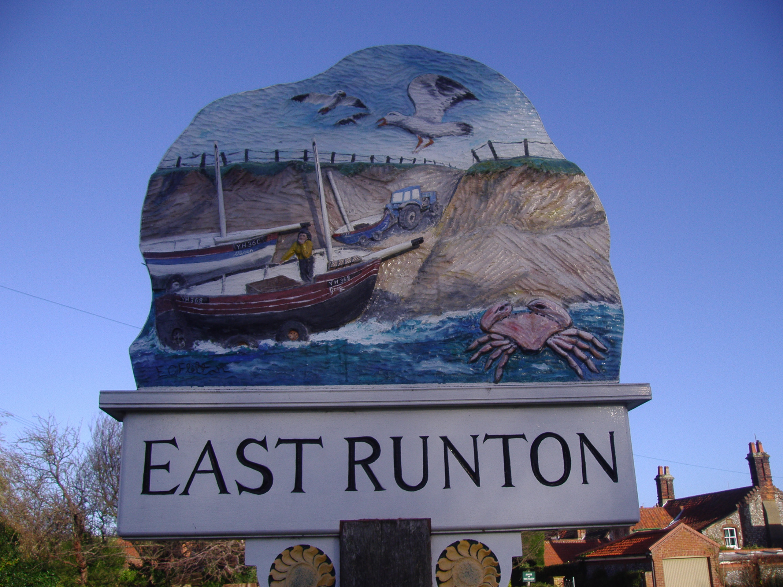
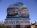
East Runton
- East Runton
-
East Runton est un village du comté de Norfolk en Angleterre. Il se trouve à environ 6 kilomètres à l'est de Sheringham, à proximité des côtes. Il y a 1633 habitants selon le recensement de 2001.
Wikimedia Foundation.
2010.
Contenu soumis à la licence CC-BY-SA. Source : Article East Runton de Wikipédia en français (auteurs)
Regardez d'autres dictionnaires:
East Runton — Infobox UK place official name= East Runton country= England region= East of England shire district= North Norfolk shire county= Norfolk civil parish= Runton static static image caption = East Runton village sign population= 1,633 combined with… … Wikipedia
East Runton Windmill — Geobox|Windmill name = East Runton Tower Windmill category = Windmill image caption =East Runton Windmill, January 2008 symbol = country = England state = Norfolk region = East of England district = North Norfolk municipality = East Runton… … Wikipedia
East Dereham Windmill — The mill in 2006 Origin Mill name Norwich Road Mill Fendick s Mill Mill location … Wikipedia
West Runton — Infobox UK place official name= West Runton country= England region= East of England shire district= North Norfolk shire county= Norfolk civil parish= Runton static static image caption = West Runton from Incleborough Hill. With Beeston Bump in… … Wikipedia
List of schools in the East of England — The following is a partial list of currently operating schools in the East region of England. You may also find of use to find a particular school. See also the List of the oldest schools in the United Kingdom.Listed by local education authority… … Wikipedia
West Runton elephant — Geobox|Prehistoric name = West Runton Elephant category = Fossilized remains image caption = Steppe mammoth official name = Mammuthus trogontherii symbol = country = United Kingdom County = Norfolk Region = East of England District = North… … Wikipedia
West Runton railway station — Infobox UK station name = West Runton manager = National Express East Anglia locale = West Runton borough = North Norfolk lowusage0405 = 16,451 lowusage0506 = 15,304 platforms = 1 start = West Runton railway station is a railway station in the… … Wikipedia
National Express East Anglia — Not to be confused with National Express East Coast. National Express East Anglia … Wikipedia
North East Norfolk League — North East Norfolk Football League Countries England Fo … Wikipedia
North Norfolk — For the House of Commons constituency, see North Norfolk (UK Parliament constituency). North Norfolk District Council District … Wikipedia
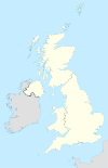

 Angleterre