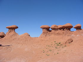
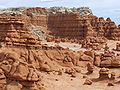
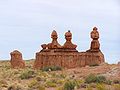
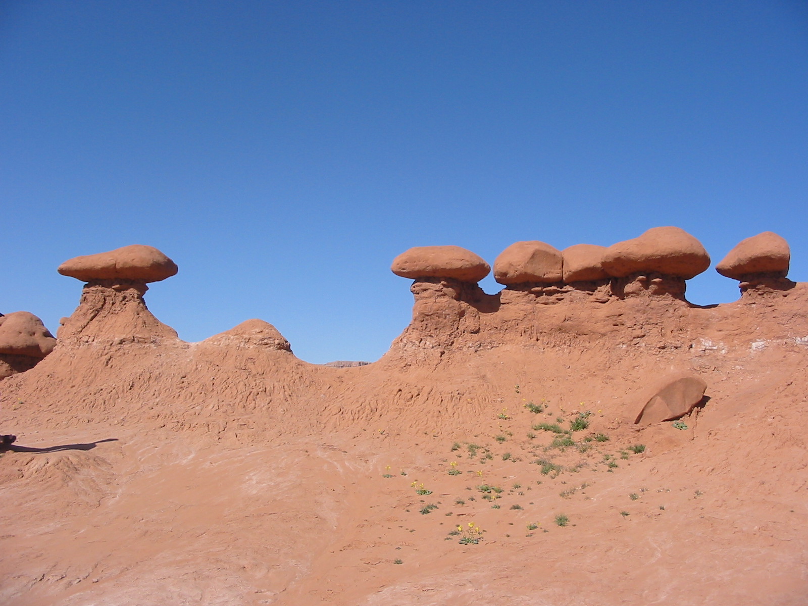
Goblin Valley State Park
- Goblin Valley State Park
-
Parc d'État de Goblin Valley
Le Goblin Valley State Park est un parc américain situé dans l'état de l'Utah.
Il fut officiellement classé comme parc d'État le 24 août 1964.
Cinéma
En 1999, certaines scènes du film Galaxy Quest y furent tournées.
Liens externes
 Portail de la conservation de la nature
 Portail des États-Unis
Catégorie : Parc d'État de l'Utah
Wikimedia Foundation.
2010.
Contenu soumis à la licence CC-BY-SA. Source : Article Goblin Valley State Park de Wikipédia en français (auteurs)
Regardez d'autres dictionnaires:
Goblin Valley State Park — Goblin Valley Designation State park Location Utah USA Nearest City Green River, Utah Coordinates coord|38|34|N|110|42|W| Area over 3,000 acres (12 km²) Date of Establishment August 24, 1964 … Wikipedia
Goblin Valley State Park — Blick in einen Teil des Tales Sandsteinfiguren … Deutsch Wikipedia
Goblin Valley — Blick in einen Teil des Tales Sandsteinfiguren Der Goblin Valley State Park ist ein Staatspark im Südosten Utahs in der Nähe von Hanksville an der Utah State Route … Deutsch Wikipedia
Parc d'État de Goblin Valley — Goblin Valley Pays États Unis État … Wikipédia en Français
Parc d'Etat de Goblin Valley — Parc d État de Goblin Valley Goblin Valley État Utah … Wikipédia en Français
Parc d'état de Goblin Valley — Goblin Valley État Utah … Wikipédia en Français
Parc d'état de goblin valley — Goblin Valley État Utah … Wikipédia en Français
Deer Creek State Park — Coordinates: 40°24′50″N 111°30′20″W / 40.41389°N 111.50556°W / 40.41389; 111.50556 … Wikipedia
Antelope Island State Park — Karte des Antelope Island State Park Der Antelope Island State Park ist ein State Park im Davis County in Utah. Er befindet sich auf Antelope Island, der größten Insel im Großen Salzsee, und ist über einen befahrbaren Damm mit dem Festland in… … Deutsch Wikipedia
Kodachrome Basin State Park — Panoramablick auf den Park von der Road 400 Kodachrome Basin State Park … Deutsch Wikipedia