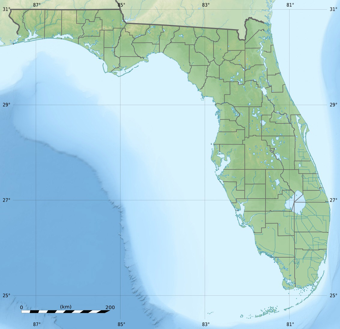
Grassy Key
Contenu soumis à la licence CC-BY-SA. Source : Article Grassy Key de Wikipédia en français (auteurs)
Regardez d'autres dictionnaires:
Grassy Key — Grassy Key, Florida is an island in the middle Florida Keys.It is located on U.S. 1 (or the Overseas Highway), at approximately mile markers 57 60, below the Conch Keys.It is one of the northernmost islands in a chain of islands that comprise the … Wikipedia
Grassy Key — Vorlage:Infobox Insel/Wartung/Bild fehltVorlage:Infobox Insel/Wartung/Höhe fehlt Grassy Key Gewässer Golf von Mexiko Inselgruppe Florida Keys Geographische Lage … Deutsch Wikipedia
Grassy — ist der Familienname folgender Personen: József Grassy (1894–1946); ungarischer Offizier in der k.u.k. Armee und in der Königlich Ungarischen Armee Siehe auch: Grassy Butte, Ort (populated place,Census Class Code U6) im Südosten des McKenzie… … Deutsch Wikipedia
Key deer — A male Key Deer on No Name Key in the Florida Keys Conservation status … Wikipedia
Key Largo — Coordinates: 25°05′11″N 80°26′50″W / 25.0865°N 80.4473°W / 25.0865; 80.4473 … Wikipedia
Missouri Key — is a small island in the lower Florida Keys. U.S. 1 (or the Overseas Highway) crosses the key at approximately mile marker 39.5, between Ohio Key and Little Duck Key. The island was named during Henry Flagler s Overseas Railroad construction… … Wikipedia
Crawl Key — is an island in the middle Florida Keys. U.S. 1 (or the Overseas Highway) traverses the key between Grassy Key and Long Point Key, which is part of a long stretch of road known as the Grassy Key Causeway. It is entirely within the city of… … Wikipedia
National Key Deer Refuge — Coordinates: 24°44′00″N 81°24′00″W / 24.7333333°N 81.4°W / 24.7333333; 81.4 The National Key Deer Refuge is a 8,542 acre (34 … Wikipedia
Dagny Johnson Key Largo Hammock Botanical State Park — IUCN Category V (Protected Landscape/Seascape) … Wikipedia
Duck Key — This article is about the island. For the census designated place, see Duck Key, Florida. Duck Key is an island in Monroe County, Florida, United States, in the middle Florida Keys.It is part of the Duck Key, Florida census designated place. The… … Wikipedia
 États-Unis
 Grassy Key