Hedsor
- Hedsor
-
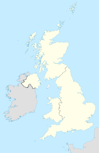
Hedsor est un petit village du Buckinghamshire, Angleterre. Le village est situé près de la Tamise et à 2 km à l'est de Bourne End. La population est de 95 habitants.
Le nom du village est d'origine anglo-saxonne. Il signifie "Hædde's cliff", faisant référence à la position du village dominant la Tamise.
Wikimedia Foundation.
2010.
Contenu soumis à la licence CC-BY-SA. Source : Article Hedsor de Wikipédia en français (auteurs)
Regardez d'autres dictionnaires:
Hedsor — infobox UK place country = England latitude= 51.56996 longitude= 0.68118 official name= Hedsor population = 95 [ [http://www.wycombe.gov.uk/uploads/documents/Community%20and%20living/bourne.pdf Wycombe DC Parish Fact file 2001 Census] ] civil… … Wikipedia
Hedsor Water — is a backwater of the River Thames near Cookham, Berkshire which leaves the river above Cookham Lock and rejoins at the tail of the lock cut. [cite book | last = Cove Smith | first = Chris | authorlink = | coauthors = | title = The River Thames… … Wikipedia
Hedsor House — Articleissues refimprove=March 2008 notable=March 2008Hedsor House is a Georgian style mansion in England in the southern most point of Buckinghamshire in the village of Hedsor. Perched overlooking the River Thames, a Manor house at Hedsor can be … Wikipedia
Bourne End, Buckinghamshire — Coordinates: 51°34′54″N 0°42′48″W / 51.581737°N 0.713382°W / 51.581737; 0.713382 … Wikipedia
Cookham Lock — Cookham Lock[1] Cookham Lock, Berkshire … Wikipedia
William Irby, 1st Baron Boston — (8 March 1707 ndash; 30 March 1775) was a British peer and Member of Parliament.Irby was the son of Sir Edward Irby, 1st Baronet and inherited his father s baronetcy in 1718. On 26 August 1746, he married Albinia Selwyn and they had three… … Wikipedia
High Wycombe — This article is about the town in the United Kingdom. For the suburb of Perth, see High Wycombe, Western Australia. Coordinates: 51°37′43″N 0°44′54″W / 51.628661°N 0.748238 … Wikipedia
Owlswick — St Peters Chapel … Wikipedia
Monks Risborough — Coordinates: 51°44′04″N 0°49′47″W / 51.734462°N 0.829831°W / 51.734462; 0.829831 … Wikipedia
Princes Risborough — Coordinates: 51°43′26″N 0°50′04″W / 51.723978°N 0.834418°W / 51.723978; 0.834418 … Wikipedia

 Angleterre