- Hendschiken
-
Hendschiken Une vue d'ensemble de la commune serait la bienvenue Administration Pays Suisse 
Canton Argovie District Lenzburg Langue Allemand Maire Daniel Lüem N° OFS 4198 Code postal 5604 Site Web www.hendschiken.ch Géographie Superficie 3,52 km²[1] Altitude 412 Coordonnées Communes limitrophes
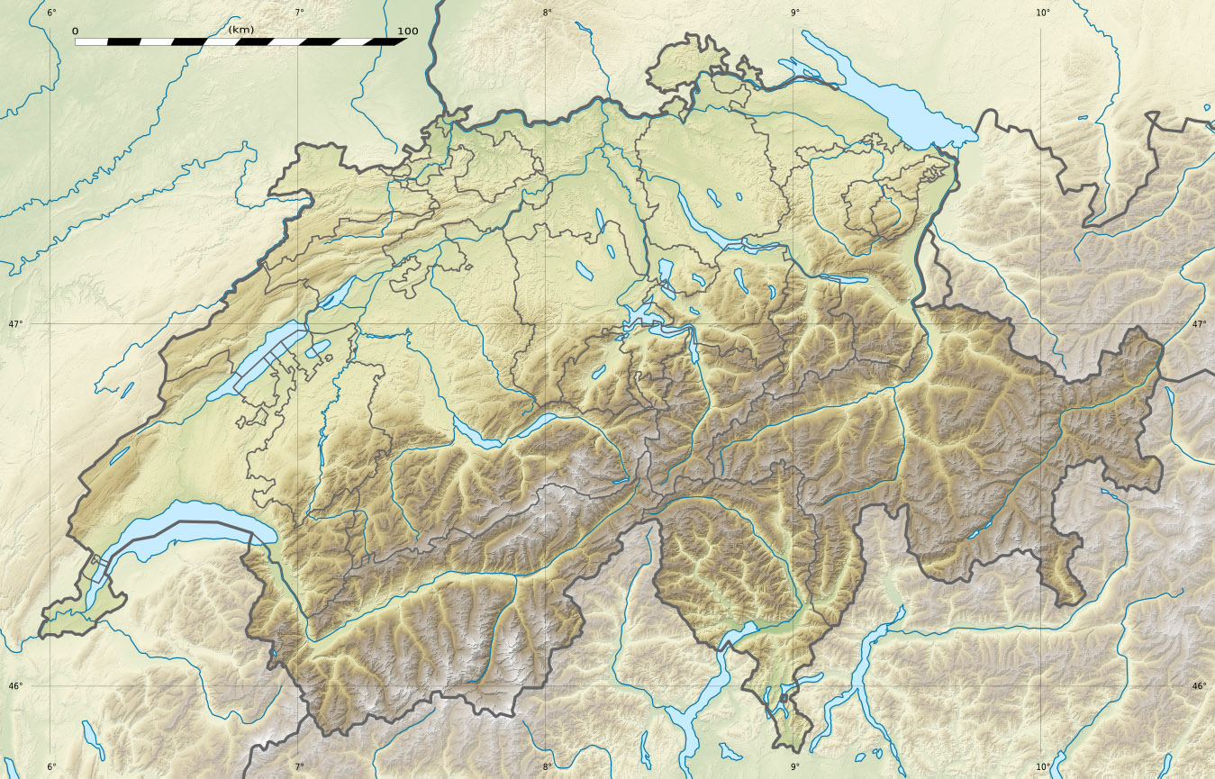
(voir carte)Othmarsingen, Dottikon, Villmergen, Dintikon, Ammerswil, Lenzburg Démographie Population 971 (31 décembre 2010)[2] Densité 275,9 hab./km² Localisation Localisation de Hendschiken en Suisse.
modifier 
Hendschiken est une commune suisse du canton d'Argovie, située dans le district de Lenzburg.
Références
- Statistique de la superficie 2004/09 : Données communales sur Office fédéral de la Statistique. Consulté le 23 septembre 2010
- Bilan de la population résidante permanente (total) selon les districts et les communes, en 2010 sur Office de la Statistique du Canton d'Argovie. Consulté le 28 mars 2011
Catégorie :- Commune du canton d'Argovie

Wikimedia Foundation. 2010.