Hiaure
Contenu soumis à la licence CC-BY-SA. Source : Article Hiaure de Wikipédia en français (auteurs)
Regardez d'autres dictionnaires:
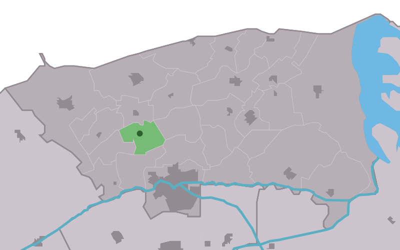
Hiaure — Lage von Hiaure in der Gemeinde Dongeradeel Hiaure (friesisch: De Lytse Jouwer) ist ein kleines Dorf in der Gemeinde Dongeradeel in der niederländischen Provinz Friesland. Es befindet sich nordwestlich von Dokkum und hat 80 Einwohner (2008). Das… … Deutsch Wikipedia
Hiaure — Infobox Settlement official name = Hiaure mapsize = 280px subdivision type = Country subdivision name = flagicon|Netherlands Netherlands subdivision type1 = Province subdivision name1 = flagicon|Friesland Friesland settlement type = Village… … Wikipedia
De Lytse Jouwer — Hiaure 53°20′50″N 5°58′21″E / 53.34722, 5.9725 … Wikipédia en Français
Dongeradeel — Héraldique … Wikipédia en Français
Dongeradeel — Dongeradiel Municipality … Wikipedia
List of places in the Netherlands — This is an alphabetical list of places (cities, towns, villages) in the Netherlands. Lists per province can be found at:* List of towns in Groningen * List of towns in Friesland * List of towns in Drente * List of towns in Overijssel * List of… … Wikipedia
Dongeradeel — Gemeinde Dongeradeel Flagge Wappen Provinz Friesland Bürgermeiste … Deutsch Wikipedia
Hantumeruitburen — Die Lage von Hantumeruitburen in der Gemeinde Dongeradeel Hantumeruitburen (friesisch: Hantumerútbuorren) ist ein kleines Dorf in der Gemeinde Dongeradeel in der niederländischen Provinz Friesland. Es befindet sich nördlich von Dokkum und hat 70… … Deutsch Wikipedia
Aalsum — 53°20′18″N 6°0′16″E / 53.33833, 6.00444 … Wikipédia en Français
Anjum — 53°22′29″N 6°7′38″E / 53.37472, 6.12722 … Wikipédia en Français
 Pays-Bas