- Interstate 70
-
Interstate 70 
Longueur 3520 km (2173 mi mi) Direction ouest / est Extrémité ouest  I-15 près de Cove Fort
Intersections  I-25 à Denver
 I-35 à Kansas City (Missouri)
 I-55 à Saint Louis (Missouri)
 I-65 à Indianapolis
 I-75 près de Dayton
 I-95 près de Baltimore (via la I-695)
Extrémité est  MD 122 à Baltimore
Réseau Interstate highway L'Interstate 70 (ou I-70) est une autoroute inter-États située aux États-Unis d'Amérique.
Sommaire
Distance parcourue par état
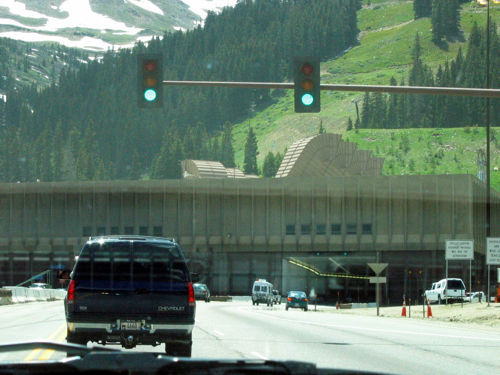
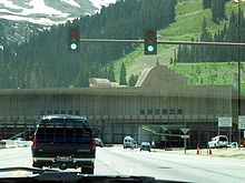 Le Eisenhower Tunnel
Miles km état 232 376 Utah 451 731 Colorado 424 687 Kansas 251 408 Missouri 155 253 Illinois 156 254 Indiana 225 365 Ohio 14 23 Virginie-Occidentale 168 272 Pennsylvanie 94 152 Maryland 2,173 3,520 Total Routes associées
- Denver - I-270
- Topeka - I-470
- Kansas City (Kansas) vers Kansas City (Missouri) - I-670
- Kansas City (Missouri) - I-470
- Saint Louis (Missouri) - I-170, I-270
- Columbus - I-270, I-670
- Wheeling - I-470
- Washington - I-270, I-370
- Baltimore - I-170
Voir aussi
- (en) Cet article est partiellement ou en totalité issu de l’article de Wikipédia en anglais intitulé « Interstate 70 » (voir la liste des auteurs)
Liens externes
Information et images
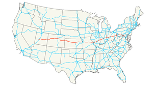
Autoroutes inter-États (principales en rose) 
4 5 8 10 12 15 16 17 19 20 22 24 25 26 27 29 30 35 37 39 40 43 44 45 49 55 57 59 64 65 66 68 69 70 71 72 73 74 75 76 (W) 76 (E) 77 78 79 80 81 82 83 84 (W) 84 (E) 85 86 (W) 86 (E) 87 88 (W) 88 (E) 89 90 91 93 94 95 96 97 99 (238) H-1 H-2 H-3 Autres A-1 A-2 A-3 A-4 PRI-1 PRI-2 PRI-3 Catégorie :- Autoroute inter-États américaine


Wikimedia Foundation. 2010.