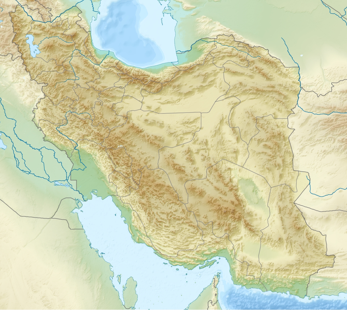
Kabir Kuh
Contenu soumis à la licence CC-BY-SA. Source : Article Kabir Kuh de Wikipédia en français (auteurs)
Regardez d'autres dictionnaires:
Kabir Kuh — (In Persian: کبیرکوه) is a very long mountainous ridge stretching about 150 miles in length on the borders of Lurestan and Ilam Province in Iran. The highest peak of this mountain is called Kaane seifi (2790 m) which is almost 50 km far from Ilam … Wikipedia
Natural gas reserves in Iran — Iran Gas Fields Location Map … Wikipedia
Īlām Province — Infobox Iran Province province name = Īlām ostan name = ایلام loc capital = Ilam latd = 33.6384 longd = 46.4226 area = 20,133 pop = 545,093 pop year = 2005 pop density = 27.1 sub provinces = 7 languages= Luri Kurdish Persian Īlām, also Elam… … Wikipedia
Ilam, Iran — Infobox City official name = Ilam native name = nickname = former name = province name = Ilam Province motto = imagesize = image caption = image mapsize = map caption = pushpin pushpin label position = pushpin map caption = pushpin mapsize =… … Wikipedia
Feylis — Feyli Kurds (Kurdish: فه یلی /Feylî/Pehlî, ) are a group of people of Iranian stock living in Baghdad and the Diyala Province of Iraq around Khanaqin and Mandali. Feyli speak Feyli, a dialect of the Pahlawani. The roots of the Feyli go back to… … Wikipedia
Dehloran County — شهرستان دهلران County Coord … Wikipedia
Mehran County — شهرستان مهران County Coordina … Wikipedia
Ilam (Stadt) — Ilam … Deutsch Wikipedia
Ilam — Pour l’article homophone, voir Eelam. 33° 38′ N 46° 26′ E / … Wikipédia en Français
Province d'Ilam — 33° 38′ 18″ N 46° 25′ 21″ E / 33.6384, 46.4226 … Wikipédia en Français
 Kabir Kuh
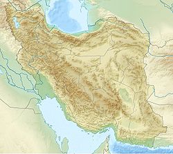
 Iran
Iran