Kalavan
- Kalavan
-
40° 39′ 00″ N 45° 07′ 00″ E / 40.65, 45.116667
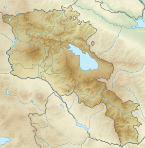
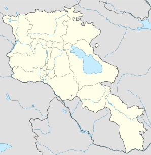
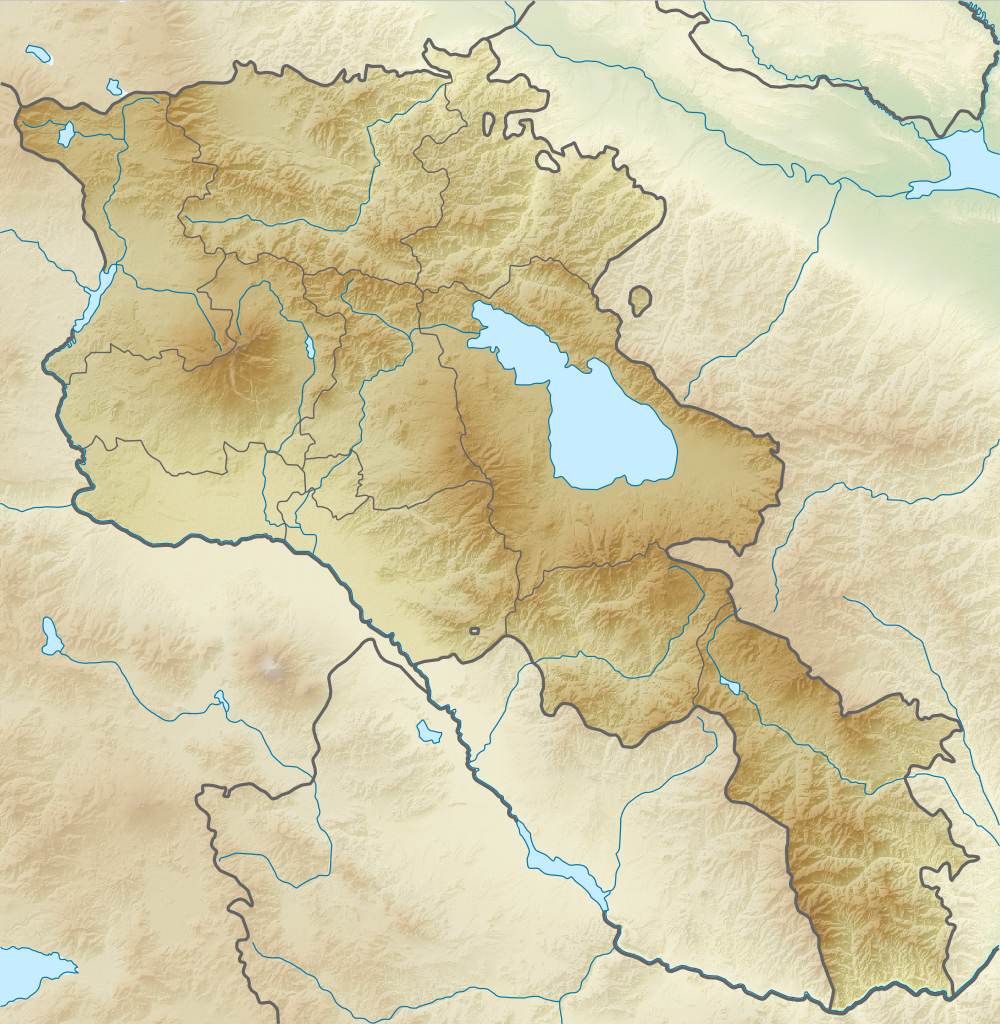
Kalavan (en arménien Կալավան ; anciennement Amirkher[2]) est une communauté rurale du marz de Gegharkunik, en Arménie. Elle compte 175 habitants en 2008 et comprend le village de Barepat[3].
Notes et références
- ↑ (hy+en) Central Electoral Commission of the Republic of Armenia. Consulté le 24 janvier 2011.
Pour obtenir la page en anglais, cliquez sur le drapeau arménien en haut à gauche, et sélectionnez « English » ; ensuite, dans le menu vertical de gauche, cliquez sur « Local », sélectionnez le
marz pertinent, puis la dernière élection correspondant à la communauté voulue.
- ↑ (en) Brady Kiesling, Rediscovering Armenia, 2000, p. 50 [lire en ligne (page consultée le 25 mars 2010)] .
- ↑ (en) ArmStat, Marzes of the Republic of Armenia in figures, 2008, « RA Gegharkunik Marz », 2008. Consulté le 5 avril 2009.
Wikimedia Foundation.
2010.
Contenu soumis à la licence CC-BY-SA. Source : Article Kalavan de Wikipédia en français (auteurs)
Regardez d'autres dictionnaires:
Kalavan — Infobox Settlement official name =Kalavan Կալավան native name = pushpin mapsize =150px subdivision type = Country subdivision name = Armenia subdivision type1 = Marz (Province) subdivision name1 =Gegharkunik leader title = leader name =… … Wikipedia
Гостиничный комплекс Голубой Севан — (Kalavan,Армения) Категория отеля: Адрес: Чамбарак, 0004 Kalavan … Каталог отелей
Maharaja Sayajirao University of Baroda — The Maharaja Sayajirao University of Baroda Motto Satyam Shivam Sundaram Established 1949 Type Public … Wikipedia
Sointula, British Columbia — Sointula is an isolated village on Malcolm Island in British Columbia, Canada. It lies between Vancouver Island and the British Columbia mainland, northeast of Port McNeill and not far from Alert Bay. As of 2008 it has a population of roughly 800 … Wikipedia
Gavar — Coordinates: 40°21′32″N 45°07′36″E / 40.35889°N 45.12667°E / 40.35889; 45.12667 … Wikipedia
Maharaja Sayajirao Gaekwad III — See also Gaekwad .Sayajirao Gaekwad III (Shrimant Gopalrao Gaekwad; 10 March 1863 – 6 February 1939), was the Maharaja of Baroda from 1875 to 1939, and is notably remembered for reforming much of his state during his rule.Early lifeSayajirao was… … Wikipedia
Artsvashen — For the village in Tartar Rayon, Azerbaijan, see Seysulan. Coordinates: 40°38′N 45°30′E / 40.633°N 45.5°E / 40.633; 45.5 … Wikipedia
Nerkin Getashen — Coordinates: 40°08′45″N 45°15′50″E / 40.14583°N 45.26389°E / 40.14583; 45.26389 … Wikipedia
Chambarak — Coordinates: 40°35′43″N 45°20′51″E / 40.59528°N 45.3475°E / 40.59528; 45.3475 … Wikipedia
Martuni, Armenia — For the village of the same name located on the northern side of Lake Sevan, see Martuni (village). Martuni Մարտունի Martuni at dusk … Wikipedia
 Arménie