- Kharimkotan
-
Kharimkotan 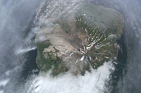
Vue de Kharimkotan.Géographie Pays  Russie
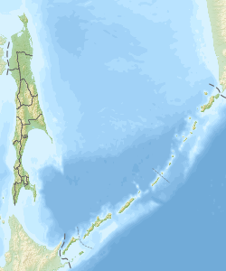
Archipel Îles Kouriles Localisation Mer d'Okhotsk, océan Pacifique Coordonnées Superficie 68 km2 Point culminant Kharimkotan (1 145 m) Géologie Géologie Île volcanique Type Volcan gris Activité Actif Dernière éruption 8 janvier au 14 avril 1933 Code [1] 0900-30= Observatoire Aucun Administration RussieOblast Oblast de Sakhaline Autres informations Fuseau horaire UTC+12 Géolocalisation sur la carte : Oblast de Sakhaline
 Kharimkotan
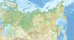
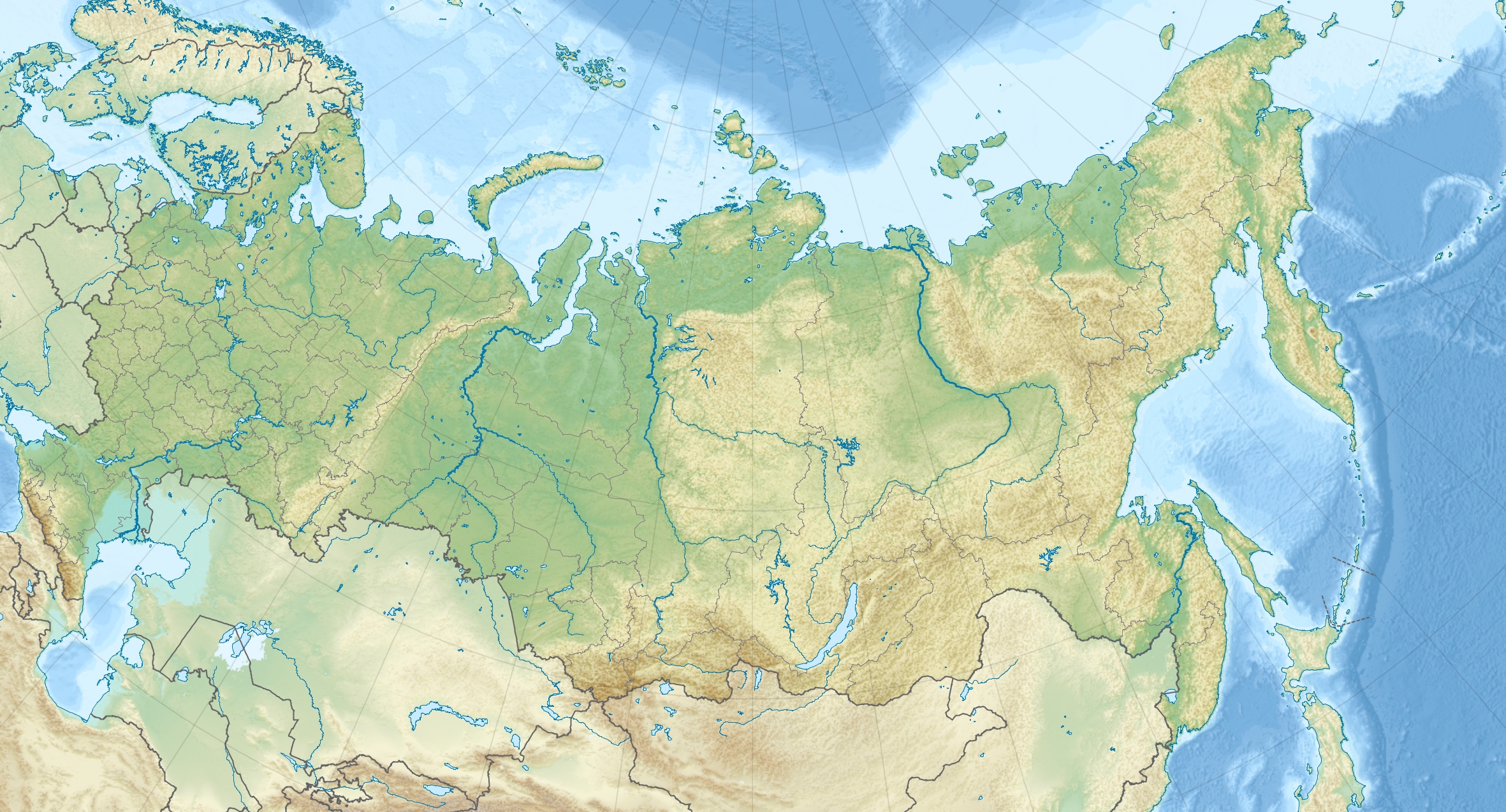
Géolocalisation sur la carte : Russie
 Kharimkotan
Île de Russie Kharimkotan (russe : Харимкотан) est une île volcanique des îles Kouriles.
Voir aussi
Liens externes
- Oceandots (en)
Catégories :- Volcan actif
- Volcan gris
- Île inhabitée
- Île volcanique
- Volcan des îles Kouriles
- Île de Russie


Wikimedia Foundation. 2010.