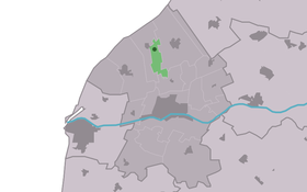
Klooster-Lidlum
Contenu soumis à la licence CC-BY-SA. Source : Article Klooster-Lidlum de Wikipédia en français (auteurs)
Regardez d'autres dictionnaires:
Klooster-Lidlum — Infobox Settlement official name = Klooster Lidlum mapsize = 280px subdivision type = Country subdivision name = flagicon|Netherlands Netherlands subdivision type1 = Province subdivision name1 = flagicon|Friesland Friesland settlement type =… … Wikipedia
Kleaster-Lidlum — Klooster Lidlum 53°13′45″N 5°31′27″E / 53.22917, 5.52417 … Wikipédia en Français
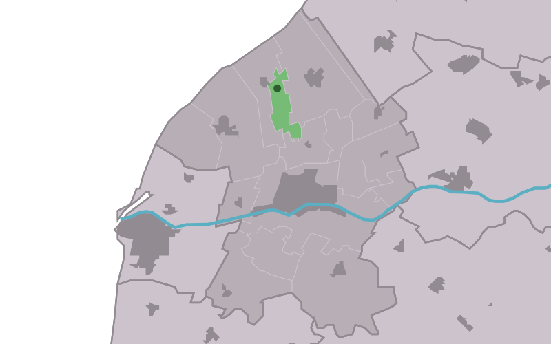
Franekeradeel — Infobox Settlement official name = Franekeradeel image seal size = 70px mapsize = 280px subdivision type = Country subdivision name = Netherlands subdivision type1 = Province subdivision name1 = Friesland area footnotes = (2006) area total km2 =… … Wikipedia
List of places in the Netherlands — This is an alphabetical list of places (cities, towns, villages) in the Netherlands. Lists per province can be found at:* List of towns in Groningen * List of towns in Friesland * List of towns in Drente * List of towns in Overijssel * List of… … Wikipedia
Franekeradeel — Gemeinde Franekeradeel Flagge Wappen Provinz Friesland … Deutsch Wikipedia
Frjentsjerteradiel — Gemeinde Franekeradeel Flagge Wappen Provinz … Deutsch Wikipedia
Achlum — 53°8′53″N 5°29′6″E / 53.14806, 5.485 … Wikipédia en Français
Boer (Frise) — 53°12′55″N 5°33′52″E / 53.21528, 5.56444 … Wikipédia en Français
Doanjum — Dongjum 53°12′32″N 5°32′34″E / 53.20889, 5.54278 … Wikipédia en Français
Dongjum — 53°12′32″N 5°32′34″E / 53.20889, 5.54278 … Wikipédia en Français
 Pays-Bas