Borovce
- Borovce
-
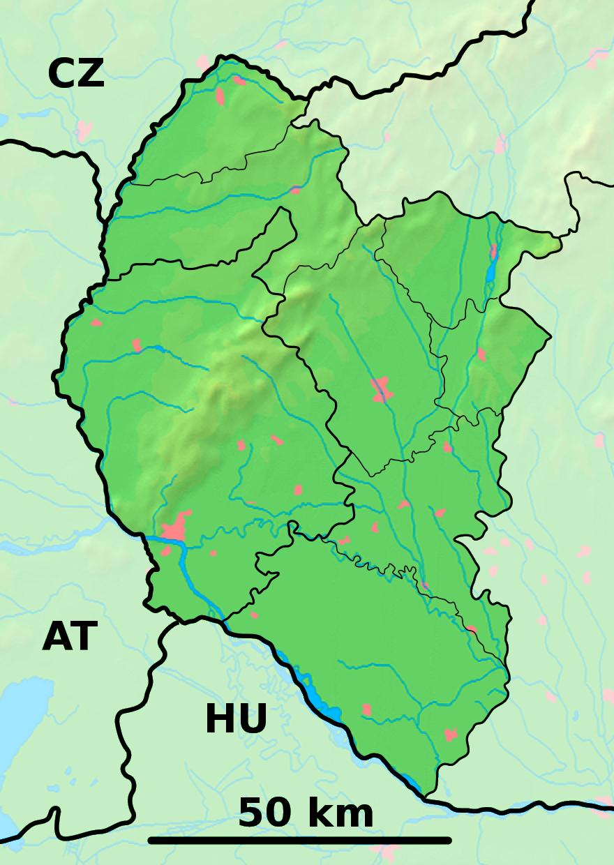
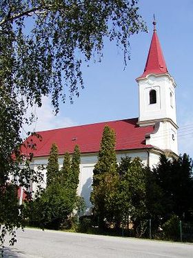
Borovce (allemand : Borowitz , hongrois : Bori)[4] est un village de Slovaquie situé dans la région de Trnava.
Histoire
Première mention écrite du village en 1262.
Notes et références
Catégories :
- Village de Slovaquie
- Village et ville du district de Piešťany
Wikimedia Foundation.
2010.
Contenu soumis à la licence CC-BY-SA. Source : Article Borovce de Wikipédia en français (auteurs)
Regardez d'autres dictionnaires:
Borovce — is a village and municipality in Piešťany District in the Trnava Region of western Slovakia.HistoryIn historical records the village was first mentioned in 1262.GeographyThe municipality lies at an altitude of 160 metres and covers an area of… … Wikipedia
Trnava Region — Geobox | Region name = Trnava category = Region image caption = image caption = symbol = symbol type = etymology = official name = motto = nickname = country = Slovakia country state = region = district = commune = municipality = border = part… … Wikipedia
Ducové — Coordinates: 48°37′40″N 17°52′05″E / 48.62778°N 17.86806°E / 48.62778; 17.86806 … Wikipedia
Piešťany District — District Country Slovakia … Wikipedia
List of municipalities and towns in Slovakia — Slovakia This is a comprehensive list of municipalities and towns in Slovakia. For lists of towns and municipalities sorted by Regions see the individual articles on Regions. For an outdated list of towns only in Slovakia see also List of towns… … Wikipedia
Drahovce — Location of Piešťany District in the Trnava Region Drahovce is a village and municipality in Piešťany District in the Trnava Region of western Slovakia. History In historical records the village was … Wikipedia
Dubovany — Location of Piešťany District in the Trnava Region Dubovany is a village and municipality in Piešťany District in the Trnava Region of western Slovakia. History In historical records the village was … Wikipedia
Chtelnica — Location of Piešťany District in the Trnava Region Chtelnica is a village and municipality in Piešťany District in the Trnava Region of western Slovakia. History In historical records the village wa … Wikipedia
Ostrov, Piešťany District — Location of Piešťany District in the Trnava Region Ostrov is a village and municipality in Piešťany District in the Trnava Region of western Slovakia. Contents … Wikipedia
Moravany nad Váhom — Coordinates: 48°36′10″N 17°51′50″E / 48.60278°N 17.86389°E / 48.60278; 17.86389 … Wikipedia
 Slovaquie
 Borovce