Gravesend (Kent)
- Gravesend (Kent)
-
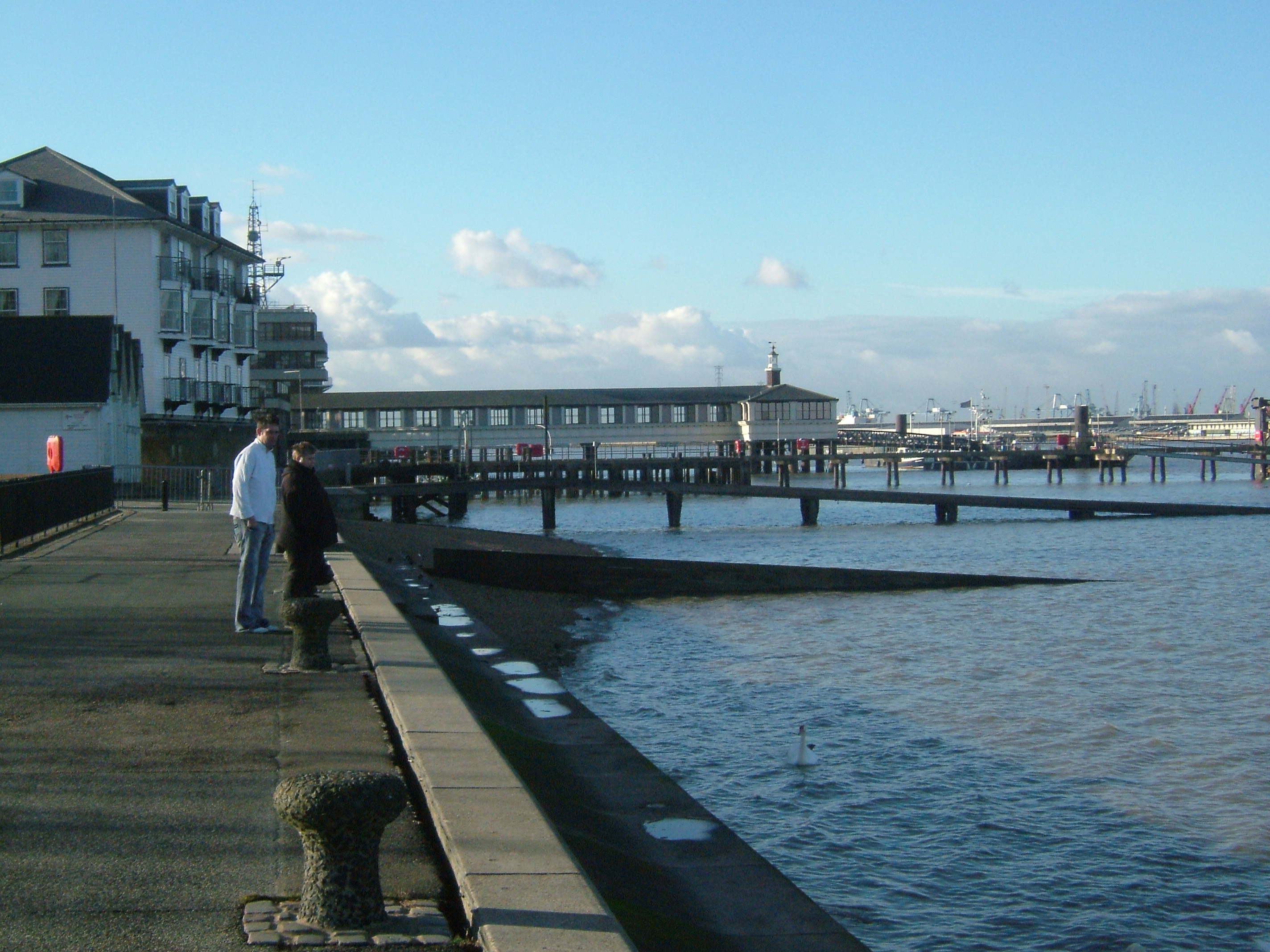
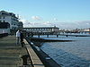
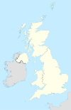
Gravesend est une ville britannique située dans le nord-ouest du Kent (Angleterre), sur la rive sud de la Tamise. Gravesend est le centre administratif du Borough de Gravesham. Sa population est de 51 150 habitants.
Gravesend est la ville la plus proche de la gare de Ebbsfleet International, desservie depuis décembre 2007 par les liaisons Eurostar, ainsi que par des trains nationaux entre le Kent et Londres à partir de décembre 2009.
Pocahontas est morte à Gravesend et y est enterrée dans l'église Saint-George. Comme indiqué dans l'église, Pocahontas a été enterrée dans le chœur de l'église ancienne, mais le chœur de l'église, reconstruite en 1720, se trouve maintenant à 4 m de profondeur. À l'intérieur de l'église se trouvent plusieurs panneaux ainsi que deux vitraux ou l’on voit Pocahontas. Un panneau détaille l'arbre généalogique de John Rolfe, le mari de Pocahontas. Une réplique de la statue de Pocahontas de Jamestown se trouve devant l’entrée de l’église. Elle a été offerte et inaugurée par le gouverneur de Virginie le 5 octobre 1958.
Jumelages
Liens externes
Wikimedia Foundation.
2010.
Contenu soumis à la licence CC-BY-SA. Source : Article Gravesend (Kent) de Wikipédia en français (auteurs)
Regardez d'autres dictionnaires:
Gravesend, Kent — Long Reach redirects here. For the neighbourhood in the eastern United States, see Long Reach, Columbia, Maryland. Coordinates: 51°26′29″N 0°22′07″E / 51.4415°N 0.3685°E … Wikipedia
Gravesend United F.C. — Gravesend United Football Club was a football club based in Gravesend, Kent.They were founder members of the Kent League in 1894 95 before moving to join the Southern League in 1896 97. They rejoined the Kent League for a single season in 1901 02 … Wikipedia
Gravesend, Brooklyn — Gravesend (pronounced GRAVES end , not grave SEND ) is a neighborhood in the south central section of the New York City borough of Brooklyn, USA.The derivation of the name is unclear. Some speculate that it was named after the English seaport of… … Wikipedia
Gravesend Airport — Gravesend Airport, located to the east of the town of Gravesend, Kent, England was in existence from 1932 until 1956. [ [http://myweb.tiscali.co.uk/609photos/Gravesend.htm Gravesend airport notes] ] It was initially a civil airfield, and became a … Wikipedia
Gravesend — may refer to:In the UK *Gravesend, Kent *Gravesend, HertfordshireIn the rest of the world. *Gravesend, Brooklyn *Gravesend, New South WalesOther. *Gravesend (film) … Wikipedia
Gravesend Grammar School — Infobox UK school name = Gravesend Grammar School size = latitude = longitude = dms = motto = Consule Cunctis motto pl = established = 1893 approx = closed = c approx = type = Grammar secondary religion = president = head label = Head teacher… … Wikipedia
Gravesend (UK Parliament constituency) — UK former constituency infobox Name = Gravesend Type = County Year = 1868 Abolition = 1983 members = oneGravesend was a county constituency centred on the town of Gravesend, Kent which returned one Member of Parliament to the House of Commons of… … Wikipedia
Gravesend (Angleterre) — 51°26′29″N 0°22′6″E / 51.44139, 0.36833 … Wikipédia en Français
Kent Police — Logo of the Kent Police. Motto Protecting and serving the people of Kent … Wikipedia
Kent Fire and Rescue Service — is the statutory fire and rescue service for the county of Kent covering a geographical area south of London, to the coast and including major shipping routes via the Thames and Medway rivers. The total coastline covered is 225km (139 miles); it… … Wikipedia

 Angleterre
 Neumünster (Allemagne)
 Cambrai (France)
 Chesterfield (États-Unis)