Hranovnica
- Hranovnica
-
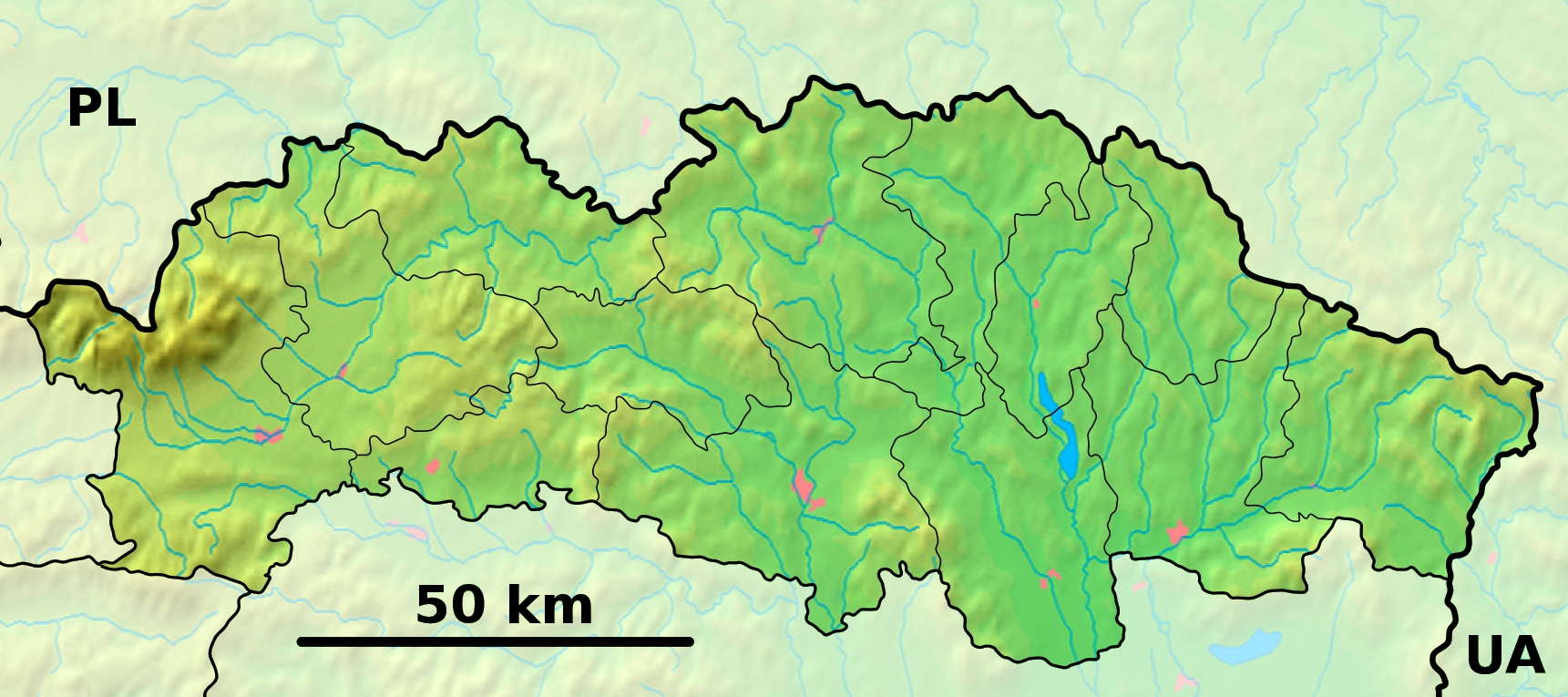
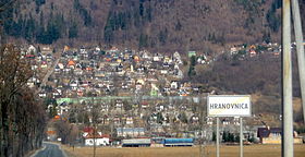
Hranovnica (allemand : Grenzburg in der Zips) est un village de Slovaquie situé dans la région de Prešov.
Histoire
Première mention écrite du village en 1294.
Notes et références
Sur les autres projets Wikimedia :
Catégories :
- Village de Slovaquie
- Village et ville du district de Poprad
Wikimedia Foundation.
2010.
Contenu soumis à la licence CC-BY-SA. Source : Article Hranovnica de Wikipédia en français (auteurs)
Regardez d'autres dictionnaires:
Hranovnica — Wappen Karte … Deutsch Wikipedia
Hranovnica — ( hu. Szepesvéghely, de. Grenitz) is a village and municipality in Poprad District in the Prešov Region of northern Slovakia.HistoryIn historical records the village was first mentioned in 1294.GeographyThe municipality lies at an altitude of 613 … Wikipedia
Hranovnica — Sp Hrãnovnica Ap Hranovnica L Slovakija … Pasaulio vietovardžiai. Internetinė duomenų bazė
Poprad — For the river in Slovakia and Poland, see Poprad (river). For the airport, see Poprad Tatry Airport. Coordinates: 49°03′34″N 20°17′51″E / 49.05944°N 20.2975°E … Wikipedia
Prešov Region — Geobox | Region name = Prešov category = Region image caption = image caption = symbol = symbol type = etymology = official name = motto = nickname = country = Slovakia country state = region = district = commune = municipality = border = part… … Wikipedia
Vysoké Tatry (town) — Coordinates: 49°08′51″N 20°13′39″E / 49.1475°N 20.2275°E / 49.1475; 20.2275 … Wikipedia
Poprad District — District Country Slovakia Region (k … Wikipedia
Jánovce — Location of Jánovce within Slovakia. Jánovce (Hungarian: Szepesjánosfalva, German: Johannsdorf) is a village and municipality in Poprad District in the Prešov Region of northern Slovakia … Wikipedia
List of municipalities and towns in Slovakia — Slovakia This is a comprehensive list of municipalities and towns in Slovakia. For lists of towns and municipalities sorted by Regions see the individual articles on Regions. For an outdated list of towns only in Slovakia see also List of towns… … Wikipedia
Mengusovce — Location of Poprad District in the Prešov Region. Mengusovce (Hungarian: Menguszfalva, German: Mengsdorf) is a village and municipality in Poprad District in the Prešov Region of northern … Wikipedia
 Slovaquie
 Hranovnica