Mlynica
- Mlynica
-
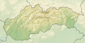
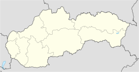
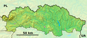
Mlynica (allemand : Mühlendorf) est un village de Slovaquie situé dans la région de Prešov.
Histoire
Première mention écrite du village en 1268.
Notes et références
Catégories :
- Village de Slovaquie
- Village et ville du district de Poprad
Wikimedia Foundation.
2010.
Contenu soumis à la licence CC-BY-SA. Source : Article Mlynica de Wikipédia en français (auteurs)
Regardez d'autres dictionnaires:
Mlynica — Wappen Karte … Deutsch Wikipedia
Młynica — Village … Wikipedia
Mlynica — Location of Poprad District in the Prešov Region. For the village in Poland, see Młynica. Mlynica (Hungarian: Malompatak, German: Mühlenbach) is a village and municipality in Po … Wikipedia
Vysoké Tatry (town) — Coordinates: 49°08′51″N 20°13′39″E / 49.1475°N 20.2275°E / 49.1475; 20.2275 … Wikipedia
Gmina Łagiewniki — Infobox Settlement name=Gmina Łagiewniki other name=Łagiewniki Commune settlement type=Gmina subdivision type=Country subdivision name=POL subdivision type1=Voivodeship subdivision name1=Lower Silesian subdivision type2=County subdivision… … Wikipedia
Vodopád Skok — Localisation Pays Slovaquie … Wikipédia en Français
Poprad — For the river in Slovakia and Poland, see Poprad (river). For the airport, see Poprad Tatry Airport. Coordinates: 49°03′34″N 20°17′51″E / 49.05944°N 20.2975°E … Wikipedia
Prešov Region — Geobox | Region name = Prešov category = Region image caption = image caption = symbol = symbol type = etymology = official name = motto = nickname = country = Slovakia country state = region = district = commune = municipality = border = part… … Wikipedia
Štrbské Pleso — with its large glacial mountain lake is a favorite ski, tourist, and health resort in the High Tatras, Slovakia. With extensive parking facilities and a stop on the Tatra trolley and rack railway, it is a starting point for a host of popular… … Wikipedia
Poprad District — District Country Slovakia Region (k … Wikipedia
 Slovaquie


