Povoda
- Povoda
-
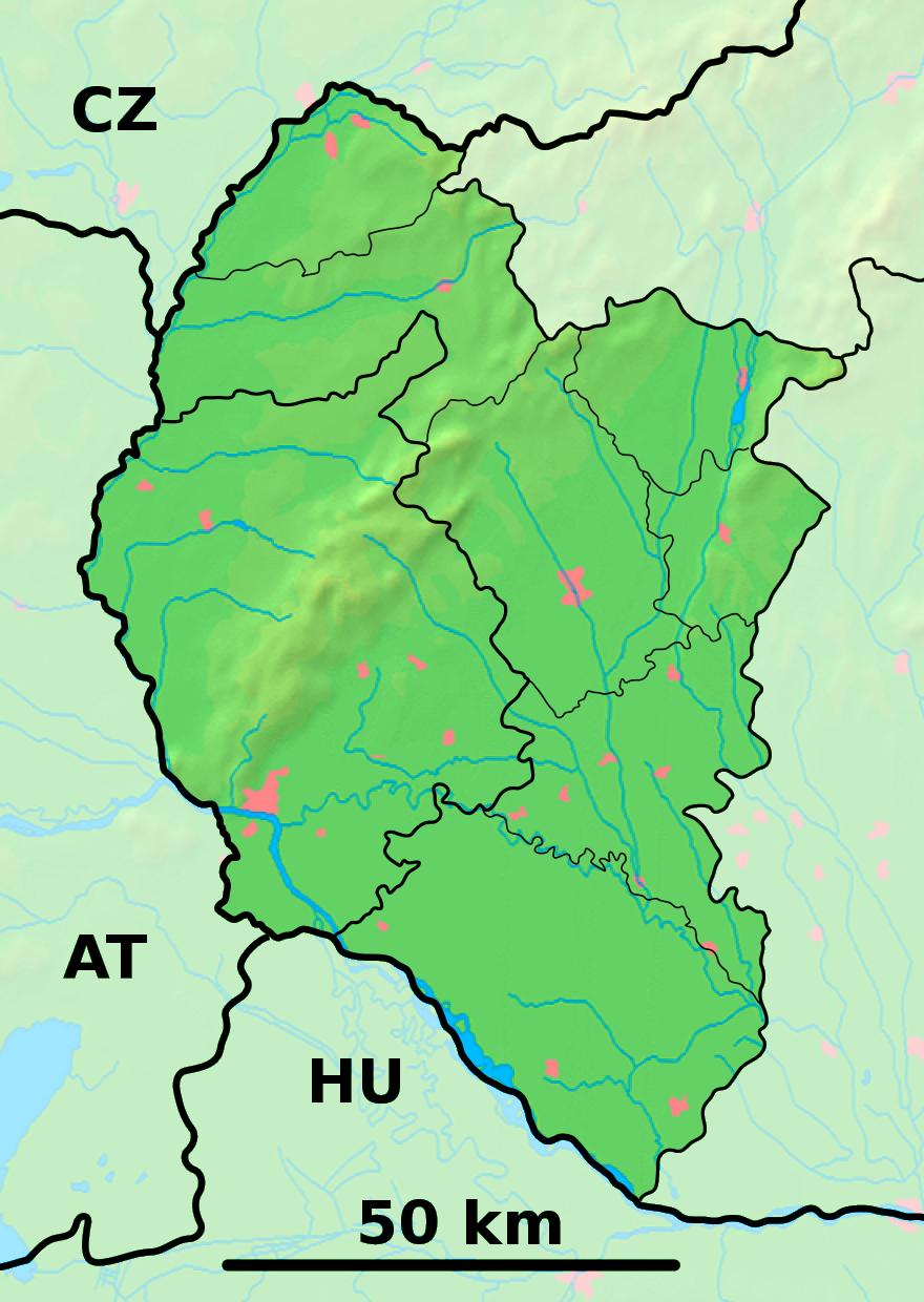
Povoda est un village de Slovaquie situé dans la région de Trnava.
Histoire
Première mention écrite du village en 1380.
Notes et références
Catégories :
- Village de Slovaquie
- Village et ville du district de Dunajská Streda
Wikimedia Foundation.
2010.
Contenu soumis à la licence CC-BY-SA. Source : Article Povoda de Wikipédia en français (auteurs)
Regardez d'autres dictionnaires:
Povoda — ( hu. Pódatejed) is a village and municipality in the Dunajská Streda District in the Trnava Region of south west Slovakia.HistoryIn historical records the village was first mentioned in 1380.GeographyThe municipality lies at an altitude of 115… … Wikipedia
povod — pòvod m DEFINICIJA ono što proizvodi, daje rezultat, ono što potiče kakvu radnju, pojam; neposredan uzrok čemu [povod 1. svjetskom ratu je atentat u Sarajevu; neposredan povod; tim povodom] FRAZEOLOGIJA dati povod (a) (čemu, za što) [dati priliku … Hrvatski jezični portal
Trnava Region — Geobox | Region name = Trnava category = Region image caption = image caption = symbol = symbol type = etymology = official name = motto = nickname = country = Slovakia country state = region = district = commune = municipality = border = part… … Wikipedia
Dunajská Streda — Coordinates: 47°59′40″N 17°37′10″E / 47.99444°N 17.61944°E / 47.99444; 17.61944 … Wikipedia
Vydrany — Nemeshodos village … Wikipedia
Dunajská Streda District — okres Dunajská Streda Dunaszerdahelyi járás District Country S … Wikipedia
Bodíky — Nagybodak village … Wikipedia
List of municipalities and towns in Slovakia — Slovakia This is a comprehensive list of municipalities and towns in Slovakia. For lists of towns and municipalities sorted by Regions see the individual articles on Regions. For an outdated list of towns only in Slovakia see also List of towns… … Wikipedia
Veľký Meder — Coordinates: 47°51′23″N 17°46′14″E / 47.85639°N 17.77056°E / 47.85639; 17.77056 … Wikipedia
Zlaté Klasy — Nagymagyar village … Wikipedia
 Slovaquie
 Povoda